 Dannevirke: Dannevirke Aerodrome
The Ruahine Range defines the setting of Dannevirke Aerodrome — open pasture and gently rolling country give this small airfield a distinctly rural character. The aerodrome stands beside Dannevirke, a service town in the Tararua District, where State Highway 2 follows an inland route between Palmerston North and Hawke’s Bay. Farming remains central to the surrounding district, with livestock country extending toward the foothills. Dannevirke was founded in 1872 by Scandinavian settlers, and its Danish name, meaning “the Danes’ work”, remains a direct link to that migration. The town’s Viking-themed public identity recalls this heritage, while the aerodrome adds an aviation element to a largely agricultural setting.
Generated by AI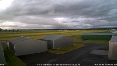


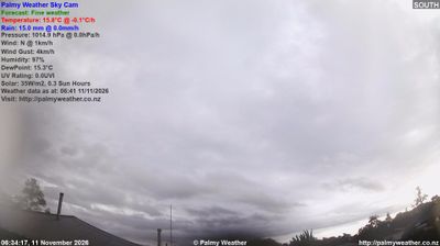
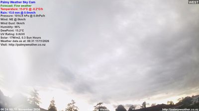

Among the towns of Manawatū-Whanganui, Dannevirke stands out for the Danish heritage that has shaped its identity since settlement in 1872. Set on the eastern side of the Ruahine Range in the southern North Island, it serves a productive farming district of rolling hill country and lies on the route between Palmerston North and Hawke's Bay. Its name recalls the Danevirke fortification in Denmark, while the annual Scandinavian Festival keeps those settler connections visible through food, music and community events. Dannevirke’s central streets retain the practical scale of a rural service town rather than a resort centre. Find related webcams across Manawatū-Whanganui to build a fuller picture of Dannevirke and the lower North Island.
1 webcam
The Whanganui River and the central volcanic plateau define much of Manawatu-Whanganui – their valleys, pastureland and uplands underpin farming, forestry and outdoor travel. The region extends from the Tasman Sea coast across the Manawatu plains to Tongariro National Park, where Mount Ruapehu is an active volcano and a major landmark. Whanganui is one of New Zealand’s oldest European-settled towns, while the river holds profound importance for local Māori communities. In 2017, the Whanganui River was recognised in New Zealand law as a legal person, reflecting its relationship with iwi. View additional webcams nearby to better understand how Manawatu-Whanganui relates to its surroundings.
21 webcams
New Zealand combines Pacific isolation with strong ties to the wider South Pacific in a way that reflects its position between the Tasman Sea and the open Pacific Ocean. The country’s two main islands are divided by Cook Strait, while the Southern Alps run along much of the South Island and include Aoraki / Mount Cook, its highest mountain. On the North Island, volcanic terrain shapes Tongariro National Park and the central plateau; long coastlines frame cities such as Auckland and Wellington. Māori culture is central to national life, and the Treaty of Waitangi, first signed in 1840, remains a foundational document in relations between Māori and the Crown. See how New Zealand fits within the wider South Pacific by browsing webcams nearby.
491 webcams