 Bluff: Motupōhue / The Bluff
Across Southland, Bluff is distinguished by Motupōhue / Bluff Hill, a coastal hill rising above Foveaux Strait. It defines the Bluff Peninsula at the southern end of New Zealand’s South Island, where Ocean Beach meets a shore of low scrub, rock shelves and small coves. Bluff is also a working port town, long associated with the renowned Bluff oyster fishery in the strait. Nearby Stirling Point marks the southern end of State Highway 1 and the start or finish of Te Araroa, the long-distance trail running the length of New Zealand. The paired Māori and English names of Motupōhue reflect the place’s enduring cultural identity.
Generated by AI
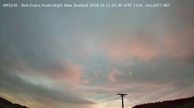



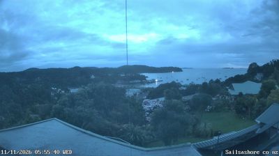

Tucked along the northern shore of Foveaux Strait, Bluff is a place whose character is shaped by its exposed maritime setting. The town sits below Motupōhue, also known as Bluff Hill, whose slopes rise directly above the harbour and look across the strait toward Rakiura/Stewart Island. At Stirling Point, the familiar signpost marks a southern terminus of the Te Araroa Trail, which runs the length of New Zealand. Bluff is also closely associated with the seasonal Bluff oyster fishery; the local oyster festival has made this shellfish part of Southland’s public calendar. Explore nearby webcam locations that provide complementary perspectives on Bluff and Foveaux Strait.
1 webcam
Southland occupies New Zealand’s southern mainland, between Fiordland’s mountains and the waters of Foveaux Strait. Its western reaches are shaped by Fiordland National Park, where deep fiords, rainforest and lakes such as Te Anau define a far more rugged character than the region’s eastern plains. The Waiau River links the inland lakes with the coast, while Rakiura/Stewart Island lies beyond the strait. Farming remains central to Southland’s identity, alongside the celebrated Bluff oyster fishery. Continue through nearby webcams to explore different parts of Southland.
33 webcams
New Zealand combines Pacific isolation with strong ties to the wider South Pacific in a way that reflects its position between the Tasman Sea and the open Pacific Ocean. The country’s two main islands are divided by Cook Strait, while the Southern Alps run along much of the South Island and include Aoraki / Mount Cook, its highest mountain. On the North Island, volcanic terrain shapes Tongariro National Park and the central plateau; long coastlines frame cities such as Auckland and Wellington. Māori culture is central to national life, and the Treaty of Waitangi, first signed in 1840, remains a foundational document in relations between Māori and the Crown. See how New Zealand fits within the wider South Pacific by browsing webcams nearby.
491 webcams