 Chachoengsao
 combines a bustling provincial centre with riverine traditions in a way that reflects its position on the Bang Pakong River east of Bangkok. The city is the capital of Chachoengsao Province and has long developed around this waterway, which flows south to the Gulf of Thailand. Its leading religious landmark is Wat Sothon Wararam Worawihan, home to Luang Pho Sothon, a highly revered Buddha image that draws worshippers from across Thailand. Beyond the temple precinct, central Chachoengsao is defined by practical commercial streets, local services and road traffic, giving the city an everyday character alongside its important pilgrimage role. It forms an urban counterpoint to the river communities and agricultural land of the surrounding province.
Generated by AI
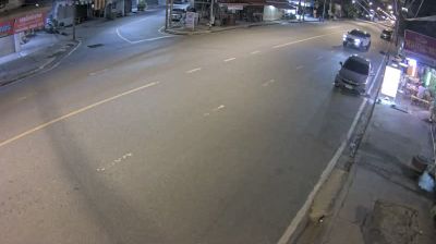
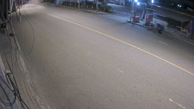
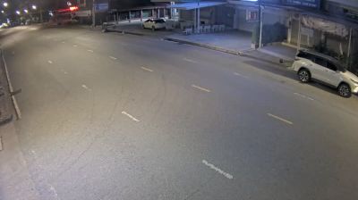
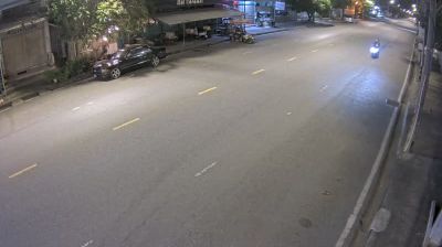
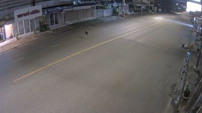

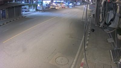
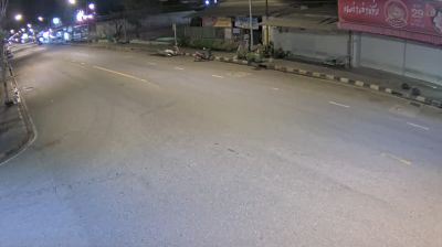

The Bang Pakong River defines the setting of Chachoengsao — its broad lowland course gives this provincial capital in eastern Thailand a close connection to riverside life and the surrounding agricultural plain. Often called Paet Riu by Thais, the city is best known for Wat Sothon Wararam Worawihan, an important Buddhist temple housing the deeply revered Luang Pho Sothon Buddha image. Pilgrims come from across the country to make offerings there, particularly on busy religious holidays. Along the river, local markets and everyday restaurants lend the central districts an active, lived-in character. Chachoengsao is not a resort town; it is a useful introduction to the religious traditions and working river landscapes east of Bangkok. View additional webcams nearby to better understand how Chachoengsao Province relates to the Bang Pakong River plain and eastern Thailand.
36 webcams
The terrain of Chachoengsao Province ranges from low alluvial plains along the Bang Pakong River in the west to wooded foothills in the east, giving the province a largely agricultural character. The river is central to local life, supporting rice cultivation, orchards and settlements across this part of eastern Thailand. Chachoengsao town, also known as Paet Riu, is home to Wat Sothon Wararam Worawihan, a major Buddhist temple revered for its image of Luang Pho Sothon. The province lies within easy reach of Bangkok yet retains a distinctly riverine, provincial rhythm. Discover other points of interest through webcams located across Chachoengsao Province.
36 webcams
Thailand stretches from the mountains along its northern borders to the Malay Peninsula, encompassing fertile central plains, river deltas and long tropical coasts. The Chao Phraya River runs through Bangkok, where the Grand Palace and Wat Phra Kaew remain central symbols of the Thai monarchy and Buddhist tradition. North of the capital, Ayutthaya’s temple ruins recall the former Siamese kingdom; farther south, the Andaman Sea and Gulf of Thailand frame islands, fishing ports and beach resorts. Thai food, from street stalls to regional kitchens, is inseparable from daily life, while Songkran marks the traditional New Year each April. Browse additional webcams from the surrounding area to extend your view of Thailand.
151 webcams