 Dunakeszi: Meggyes: M2 Dunakeszi csomópont -> Vác
Dunakeszi sits beside the Danube in central Hungary, where the river’s eastern plain meets the northern edge of Budapest. The town lies on the route between the capital and the Danube Bend, with the M2 motorway providing a northbound link toward Vác. Its setting combines established residential neighbourhoods, transport corridors and the low, open land of the Danube plain. Alag, now part of Dunakeszi, is closely associated with Hungary’s horse-racing tradition and gives the town a distinct sporting identity. The riverside position places Dunakeszi within Budapest’s wider urban belt while retaining a more open, lowland character than the capital’s dense centre.
Generated by AI

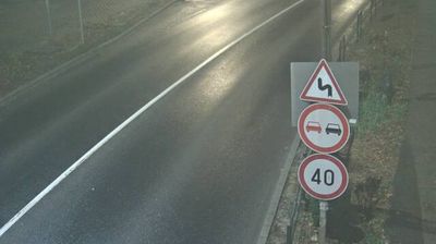

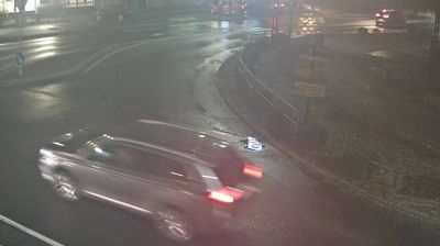
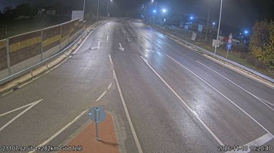

The Danube defines the setting of Dunakeszi — the town occupies the river’s left bank north of Budapest, where a flat riverside plain meets the built-up belt of the Hungarian capital. Although it has grown into a substantial suburban community, Dunakeszi retains a local identity shaped by the water, rail connections and the former Alag racing estate. Alag became closely associated with Hungarian horse racing around the turn of the 20th century; its racecourse and training grounds gave the area national prominence. The Danube bank provides a quieter counterpoint to routes into Budapest, while the nearby Danube Bend places Dunakeszi within one of central Hungary’s best-known river landscapes. Browse additional webcams from the Danube Bend and Central Hungary to extend your view of Dunakeszi’s region.
5 webcams
Central Hungary stretches from the Danube Bend to the northern edge of the Great Hungarian Plain, encompassing Budapest’s hill country and the level expanses of Pest County. The Danube forms the region’s central axis, with Budapest spread across both banks and the historic Buda Castle District above the western shore. The city’s riverside panorama, Castle District and Andrássy Avenue are together inscribed as a UNESCO World Heritage site. Beyond the capital, commuter towns and farmland extend across Pest County, while the wooded Buda Hills provide a marked contrast to the plain. Browse other webcams across Central Hungary to place this setting in a wider geographic context.
164 webcams
Hungary combines a long urban tradition with expansive lowland horizons in a way that reflects its position within the Carpathian Basin. The Danube runs through Budapest, separating the hills of Buda from the grand boulevards of Pest, where the Hungarian Parliament Building stands on the riverbank. Beyond the capital, the Great Hungarian Plain shapes much of the east, while Lake Balaton, Central Europe’s largest lake, draws summer visitors to its shores. Thermal bathing remains part of everyday life, and the Tokaj region is internationally known for its historic sweet wines. Explore nearby webcam locations that provide complementary perspectives on Hungary.
742 webcams