 Erd: Ujfalu: Érd, bevásárlóközpont -> Diósd
Érd lies along the western side of the Danube south of Budapest, its residential districts spread across gently rolling ground between the river plain and the Buda Hills. One of Hungary’s largest towns by population, it forms part of the capital’s wider urban area while retaining a predominantly low-rise suburban character. Local roads link its neighbourhoods with Budapest’s southern outskirts and other settlements in central Hungary. Érd’s best-known historic monument is its Ottoman-era minaret, a surviving reminder of Turkish rule in the region. The town also includes the protected Fundoklia Valley, a loess ravine on its southern edge with exposed geological layers.
Generated by AI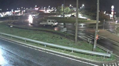


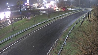
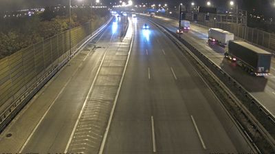

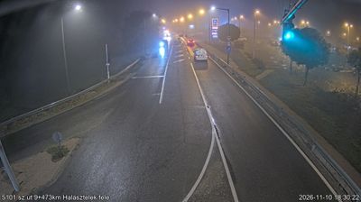


Among the cities of Central Hungary, Érd stands out for its position on high ground near the Danube, just southwest of Budapest. Closely connected to the capital’s wider urban area, it nonetheless maintains its own identity through older neighbourhoods and expanding residential districts. The Hungarian Geographical Museum in Érd is dedicated to the country’s explorers and geographers, giving the city a distinctive cultural focus. An Ottoman-era minaret, among the surviving reminders of Hungary’s centuries under Ottoman rule, adds another historic layer to the townscape. Continue through nearby webcams to explore different parts of Érd and Central Hungary.
5 webcams
Central Hungary stretches from the Danube Bend to the northern edge of the Great Hungarian Plain, encompassing Budapest’s hill country and the level expanses of Pest County. The Danube forms the region’s central axis, with Budapest spread across both banks and the historic Buda Castle District above the western shore. The city’s riverside panorama, Castle District and Andrássy Avenue are together inscribed as a UNESCO World Heritage site. Beyond the capital, commuter towns and farmland extend across Pest County, while the wooded Buda Hills provide a marked contrast to the plain. Browse other webcams across Central Hungary to place this setting in a wider geographic context.
164 webcams
Hungary combines a long urban tradition with expansive lowland horizons in a way that reflects its position within the Carpathian Basin. The Danube runs through Budapest, separating the hills of Buda from the grand boulevards of Pest, where the Hungarian Parliament Building stands on the riverbank. Beyond the capital, the Great Hungarian Plain shapes much of the east, while Lake Balaton, Central Europe’s largest lake, draws summer visitors to its shores. Thermal bathing remains part of everyday life, and the Tokaj region is internationally known for its historic sweet wines. Explore nearby webcam locations that provide complementary perspectives on Hungary.
742 webcams