 Szentendre: Fuzespark lakotelep: Szentendre, Szentlászlói úti csp. -> Visegrád
Szentendre has served as a riverside market town in Central Hungary since the Middle Ages. It stands on the right bank of the Danube, just north of Budapest, with the Pilis Hills rising to the west. Serbian settlers who arrived after the Ottoman period left a lasting mark on the town: its centre is known for baroque churches, narrow lanes and red-tiled houses. The Serbian Orthodox community and other congregations shaped a notably multi-confessional townscape. Szentendre later became associated with a colony of modern artists, and its galleries and museums remain central to its identity. Beyond the old core, residential streets and the main road underline its practical link with the capital and the Danube Bend.
Generated by AI




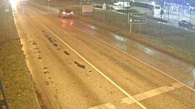

Szentendre combines an intimate riverside scale with a cosmopolitan Central European heritage in a way that reflects its position on the Danube just north of Budapest. Its old centre, with narrow streets and church towers, was shaped by Serbian settlers who arrived in large numbers after the Ottoman wars; Serbian Orthodox churches remain part of the town’s identity. Baroque façades, galleries and small museums lend the centre an artistic character, while the Hungarian Open Air Museum on the edge of town presents vernacular buildings and traditions from across Hungary. The Danube promenade and nearby Szentendre Island keep the river central to local life. Move on to other webcams in Central Hungary to compare Danube settings around Szentendre.
10 webcams
Central Hungary stretches from the Danube Bend to the northern edge of the Great Hungarian Plain, encompassing Budapest’s hill country and the level expanses of Pest County. The Danube forms the region’s central axis, with Budapest spread across both banks and the historic Buda Castle District above the western shore. The city’s riverside panorama, Castle District and Andrássy Avenue are together inscribed as a UNESCO World Heritage site. Beyond the capital, commuter towns and farmland extend across Pest County, while the wooded Buda Hills provide a marked contrast to the plain. Browse other webcams across Central Hungary to place this setting in a wider geographic context.
164 webcams
Hungary combines a long urban tradition with expansive lowland horizons in a way that reflects its position within the Carpathian Basin. The Danube runs through Budapest, separating the hills of Buda from the grand boulevards of Pest, where the Hungarian Parliament Building stands on the riverbank. Beyond the capital, the Great Hungarian Plain shapes much of the east, while Lake Balaton, Central Europe’s largest lake, draws summer visitors to its shores. Thermal bathing remains part of everyday life, and the Tokaj region is internationally known for its historic sweet wines. Explore nearby webcam locations that provide complementary perspectives on Hungary.
737 webcams