 Batu 14 Hulu Langat
 has served as a riverside settlement in Selangor since the twentieth century. It lies in the upper basin of the Langat River, southeast of Kuala Lumpur, where low green banks and local roads follow the watercourse through a settled part of Hulu Langat District. The locality’s name reflects the Malaysian use of batu, or mile markers, with Batu 14 indicating the fourteenth-mile point. Bridges across the Langat are everyday links between homes, local facilities and the district road network. This part of Selangor is defined less by the high-rise core of Kuala Lumpur than by its river corridor, modest development and dense tropical vegetation. Hulu Langat District extends eastwards toward the Titiwangsa Range.
Generated by AI
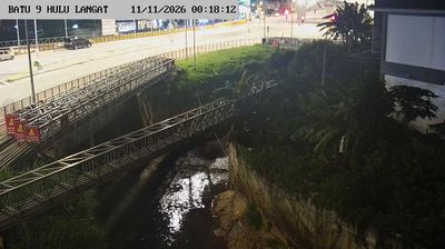
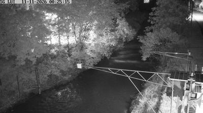

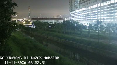
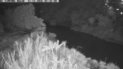

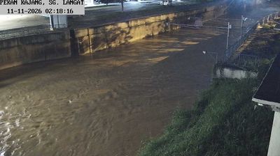
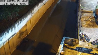
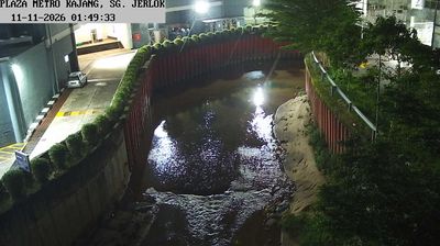

Batu 14 Hulu Langat lies along the Langat River in Selangor’s Hulu Langat District, and its valley position keeps it closely tied to the rural interior east of Kuala Lumpur. Forested slopes at the foothills of the Titiwangsa Range surround this part of the district, where small settlements and roadside businesses follow the river corridors. Its Malay name, meaning “Mile 14,” recalls the older practice of identifying places by distance markers along local roads. Explore nearby webcam locations that provide complementary perspectives on Hulu Langat and Selangor.
2 webcams
Among the states of Malaysia, Selangor stands out for its position between the Strait of Malacca and the metropolitan area around Kuala Lumpur. This populous west-coast state combines mangrove-lined shores and the Klang River basin with expanding cities, plantation land and forested foothills of the Titiwangsa Range. Shah Alam, the state capital, is marked by the Sultan Salahuddin Abdul Aziz Shah Mosque, while Klang remains associated with Selangor’s royal heritage and Port Klang. Inland, Batu Caves is a major Hindu pilgrimage site, especially during Thaipusam. Browse nearby webcams to build a fuller picture of Selangor’s coast and urban hinterland.
72 webcams
The South China Sea defines much of Malaysia — it separates Peninsular Malaysia from the states of Sabah and Sarawak on Borneo, while sustaining ports, fisheries and island connections. Malay, Chinese, Indian and Indigenous traditions shape the country’s languages, food and religious life. Kuala Lumpur’s Petronas Twin Towers are a national landmark, while Melaka recalls centuries of trade across the Strait of Malacca. Rainforest reserves and Mount Kinabalu in Sabah contrast with the dense urban energy of the west coast, and Penang is widely known for its street-food culture. Continue through nearby webcams to explore different parts of Malaysia.
106 webcams