 Hulu Kelang
 is best known within Malaysia for its wooded foothill setting on Kuala Lumpur’s northeastern edge. This part of Selangor lies where the built-up Klang Valley meets the lower slopes of the Titiwangsa Range, so housing, local roads and dense tropical vegetation often share a confined corridor. Sungai Lui runs through Hulu Kelang, forming one of the small streams that shape its drainage network. The locality belongs to Gombak District and remains closely tied to the metropolitan area while retaining an upriver character. Its Malay name is also informative: hulu denotes an upstream reach, a common element in place names across the country. Hulu Kelang illustrates the transition from Greater Kuala Lumpur’s suburbs to Selangor’s forested interior.
Generated by AI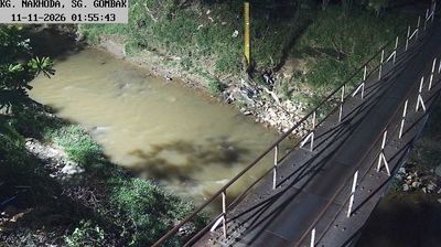
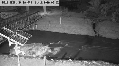
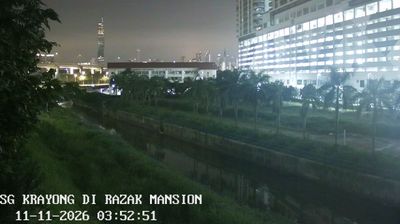

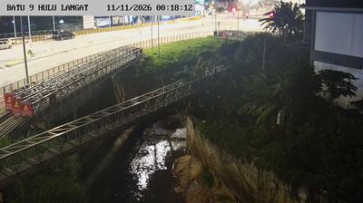
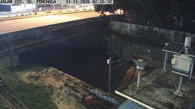

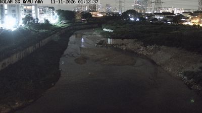
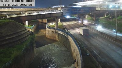
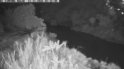

Built around settlements in the foothills of the Titiwangsa Range, Hulu Kelang grew into a residential locality on Kuala Lumpur’s northeastern fringe. This part of Selangor sits where the urban plain meets steep, forested slopes, giving its neighbourhoods a markedly hillier setting than central Kuala Lumpur. The wider Ulu Klang area is associated with Zoo Negara Malaysia, the country’s national zoo, founded in 1963. Roads through the district connect established housing areas with the capital while retaining close links to the surrounding highlands. Continue through nearby webcams to explore different parts of Hulu Kelang and Selangor.
1 webcam
Among the states of Malaysia, Selangor stands out for its position between the Strait of Malacca and the metropolitan area around Kuala Lumpur. This populous west-coast state combines mangrove-lined shores and the Klang River basin with expanding cities, plantation land and forested foothills of the Titiwangsa Range. Shah Alam, the state capital, is marked by the Sultan Salahuddin Abdul Aziz Shah Mosque, while Klang remains associated with Selangor’s royal heritage and Port Klang. Inland, Batu Caves is a major Hindu pilgrimage site, especially during Thaipusam. Browse nearby webcams to build a fuller picture of Selangor’s coast and urban hinterland.
72 webcams
The South China Sea defines much of Malaysia — it separates Peninsular Malaysia from the states of Sabah and Sarawak on Borneo, while sustaining ports, fisheries and island connections. Malay, Chinese, Indian and Indigenous traditions shape the country’s languages, food and religious life. Kuala Lumpur’s Petronas Twin Towers are a national landmark, while Melaka recalls centuries of trade across the Strait of Malacca. Rainforest reserves and Mount Kinabalu in Sabah contrast with the dense urban energy of the west coast, and Penang is widely known for its street-food culture. Continue through nearby webcams to explore different parts of Malaysia.
107 webcams