 Searsburg: VT-9 East
Searsburg has served as a rural mountain community in southern Vermont since the late 18th century. Spread across the Green Mountains, the town lies along Vermont Route 9, a principal east–west road through this heavily forested part of the state. Its settlement pattern is notably dispersed: wooded ridges, small clearings and roadside homes rather than a dense village center. The surrounding uplands belong to the broader Green Mountain landscape, where forest shapes the character of the land. Searsburg is also associated with the Searsburg Wind Farm, one of Vermont’s early commercial wind-energy projects. Route 9 forms part of the Molly Stark Byway, named for the wife of Revolutionary War general John Stark.
Generated by AI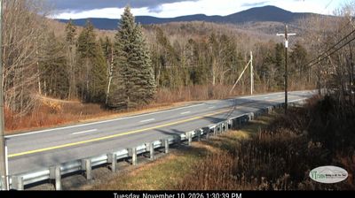
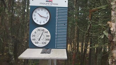
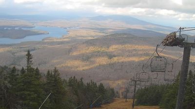
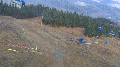

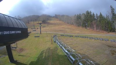
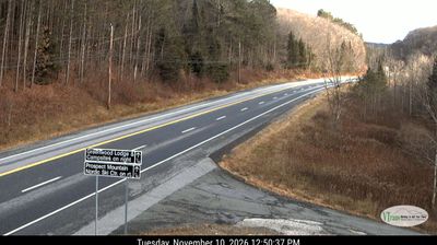


Searsburg has served as a rural settlement in Vermont’s Green Mountains since the late 18th century. Much of the town lies within the Green Mountain National Forest, where wooded ridges and upland wetlands shape a notably undeveloped stretch of southern Vermont. The Deerfield River has its headwaters in Searsburg before flowing south and east through Massachusetts to the Connecticut River. Route 9, the Molly Stark Byway, crosses the town and links Bennington with Brattleboro along a high forest route. Searsburg was chartered in 1780. Browse other webcams across southern Vermont to place Searsburg in a wider geographic context.
2 webcams
Vermont is best known in the United States for the Green Mountains, the north–south range that gives the state its defining wooded backbone. These coordinates lie in north-central Vermont, where rolling uplands and narrow valleys lead toward the Lamoille River. Mount Mansfield, rising to 4,393 feet (1,339 metres), is the state’s highest peak and stands farther west in the same mountain region. Lake Champlain forms much of Vermont’s western edge, while the Connecticut River traces its border with New Hampshire. Maple sugaring is a defining seasonal tradition, and Vermont is the nation’s leading maple-syrup producer. Explore nearby places to better understand how north-central Vermont relates to the Green Mountains, river valleys and Lake Champlain.
196 webcams
The Atlantic, Pacific and Gulf coasts define much of the United States — their ports, fisheries and trade routes have long tied the country’s economy to the wider world. Between them, the Rocky Mountains, Great Plains and Mississippi River basin form sharply different regions, from high western ranges to broad agricultural heartlands. Cities carry much of the national story: New York’s Statue of Liberty, a gift from France dedicated in 1886, remains an enduring symbol, while Washington, DC concentrates major federal institutions. Indigenous nations have shaped these lands for millennia, and their living cultures remain essential to the country’s identity. Find related webcams in the surrounding areas to build a fuller picture of the United States.
32K webcams