 Marlboro: VT-9 East
Built around scattered hill farms, Marlboro grew into a small rural town in southern Vermont. The community spreads across the wooded uplands of the Green Mountains rather than around a compact downtown, while Route 9 passes through as the Molly Stark Trail. This state highway connects Brattleboro with Bennington and has long been an important east–west route across southern Vermont. Marlboro is also known internationally for Marlboro Music, a chamber-music institution established in 1951 that brings emerging musicians together with leading artists for study and performance. Wooded roads, modest settlement patterns and rolling terrain define the character of this part of Vermont.
Generated by AI

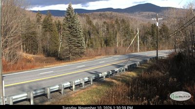
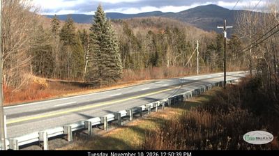
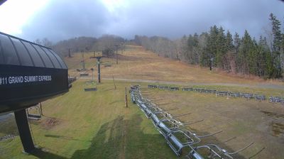
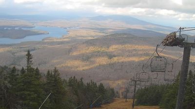
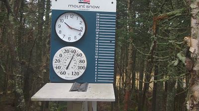
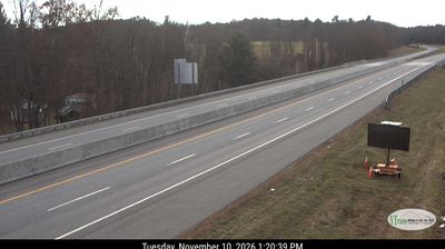

Tucked into the wooded uplands of southern Vermont near the Green Mountains, Marlboro is a place whose character is shaped by forest, small farms and a rural hill-country setting. The town lies in Windham County, where winding local roads connect scattered homes, working land and broad stretches of woodland rather than a dense town centre. Marlboro is internationally associated with Marlboro Music, the summer chamber-music institution founded in 1951 by Rudolf Serkin and colleagues; its residencies have brought emerging musicians together with established performers for generations. The former Marlboro College campus also remains part of the town’s modern identity after the college closed in 2020. Browse other webcams across Vermont’s Green Mountain region to place this upland town in a wider geographic context.
2 webcams
Vermont is best known in the United States for the Green Mountains, the north–south range that gives the state its defining wooded backbone. These coordinates lie in north-central Vermont, where rolling uplands and narrow valleys lead toward the Lamoille River. Mount Mansfield, rising to 4,393 feet (1,339 metres), is the state’s highest peak and stands farther west in the same mountain region. Lake Champlain forms much of Vermont’s western edge, while the Connecticut River traces its border with New Hampshire. Maple sugaring is a defining seasonal tradition, and Vermont is the nation’s leading maple-syrup producer. Explore nearby places to better understand how north-central Vermont relates to the Green Mountains, river valleys and Lake Champlain.
196 webcams
The Atlantic, Pacific and Gulf coasts define much of the United States — their ports, fisheries and trade routes have long tied the country’s economy to the wider world. Between them, the Rocky Mountains, Great Plains and Mississippi River basin form sharply different regions, from high western ranges to broad agricultural heartlands. Cities carry much of the national story: New York’s Statue of Liberty, a gift from France dedicated in 1886, remains an enduring symbol, while Washington, DC concentrates major federal institutions. Indigenous nations have shaped these lands for millennia, and their living cultures remain essential to the country’s identity. Find related webcams in the surrounding areas to build a fuller picture of the United States.
32K webcams