 Schaerbeek - Schaarbeek: Brussels
Among the municipalities of the Brussels-Capital Region, Schaerbeek stands out for its dense nineteenth- and early-twentieth-century streetscape, where Belgian Art Nouveau architecture is an important part of the local fabric. It lies on Brussels’s northeastern side, above the valley of the Senne, the river around which the city developed. Schaerbeek is closely woven into the Belgian capital rather than separate from it: tram and rail links connect it with the historic centre, the European Quarter and the North Quarter. Brussels’s Grand-Place, inscribed on UNESCO’s World Heritage List in 1998, remains the capital’s best-known civic ensemble. Townhouses, apartment blocks, local shops and public parks give Schaerbeek an everyday residential scale alongside the institutions of the capital.
Generated by AI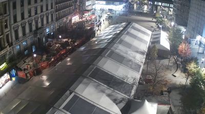



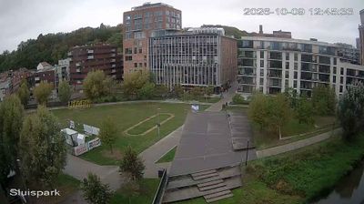
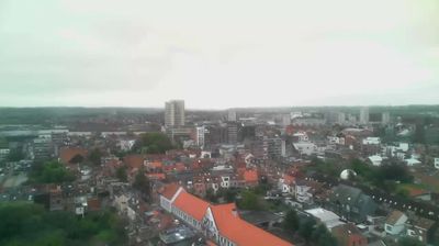


Few cities in Brussels-Capital have a history as closely tied to the cultivation of sour cherries for traditional kriek beer as Schaerbeek. Once a rural settlement, this municipality became a densely built northeastern part of Brussels, on terrain rising beyond the Senne valley. The cherry remains in local symbolism, while Josaphat Park forms an extended green space through the district. Place Colignon is dominated by Schaerbeek Town Hall, and Maison Autrique, designed by Victor Horta in 1893, marks an early chapter of Brussels Art Nouveau. Explore additional webcams nearby to see how Schaerbeek’s northeastern streets relate to the wider Brussels-Capital region.
1 webcam
Brussels-Capital is widely recognised in Belgium for the UNESCO-listed Grand Place, Brussels’s historic central square. The region is Belgium’s bilingual capital, officially using French and Dutch, and a major centre of European governance: the European Commission, Council of the European Union and European Parliament all maintain key presences here. The modest Senne, or Zenne, runs through the city, although much of its course is now covered. Guildhalls around the Grand Place, Victor Horta’s Art Nouveau buildings and the Atomium trace Brussels’s path from medieval civic centre to modern international capital. Browse nearby webcams to form a broader impression of Brussels-Capital and its urban districts.
3 webcams
Belgium occupies a low-lying North Sea coastline and river plain in northwestern Europe. Dutch-speaking Flanders lies largely to the north, while French-speaking Wallonia reaches south towards the wooded Ardennes; Brussels is officially bilingual. The Scheldt and Meuse have long connected Belgian cities with the North Sea and continental Europe. Brussels’ Grand-Place, framed by ornate guildhalls and the Town Hall, is a UNESCO World Heritage site. Medieval Bruges retains canals and merchant architecture, while Antwerp remains a major port on the Scheldt. Belgian beer culture is recognised by UNESCO as intangible cultural heritage. See how Belgium connects with the North Sea coast and neighbouring regions by browsing webcams nearby.
95 webcams