 Nagareyama
 has served as a river port in Chiba Prefecture since the Edo period. Set on the Edo River, a distributary of the Tone River system, the city developed around waterborne trade linking this lowland area with Edo, now Tokyo. Its former Nagareyama Honcho district retains merchant-town streets and storehouses that recall that commercial past. Nagareyama is also associated with shiro mirin, the sweet cooking rice wine made by local brewers; the product remains part of the city’s food heritage. Today, the riverbanks and broad floodplain keep the relationship between urban life and the river immediately apparent, while rail links place Nagareyama within the wider Tokyo metropolitan area.
Generated by AI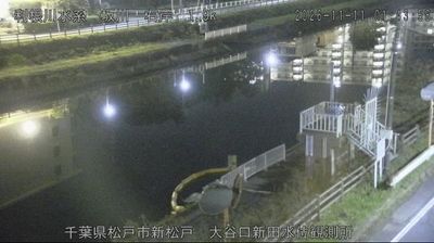
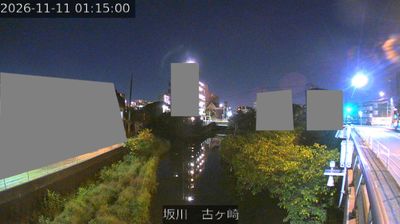
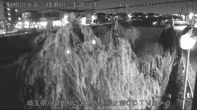

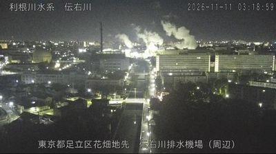

Nagareyama lies along the Edo River, where the level Kanto Plain stretches between Tokyo and the wider Chiba countryside. The river once carried goods through a town that prospered as a port and centre of mirin brewing; Nagareyama Honcho still preserves traditional storehouses and merchant buildings from that trading past. In 1868, Kondo Isami, commander of the Shinsengumi, was arrested here during the Boshin War, linking the city to the final years of the shogunate. Today, historic streets stand alongside residential districts served by the Tsukuba Express. Browse other webcams across Chiba Prefecture and the Tokyo metropolitan area to place this setting in a wider geographic context.
1 webcam
Chiba Prefecture occupies the Bōsō Peninsula on Japan’s Pacific coast. Its western shore faces Tokyo Bay, while the Pacific shapes the peninsula’s eastern and southern coasts; the Tone River marks much of its northern boundary. The prefecture combines Tokyo’s commuter cities with rice-growing countryside, fishing ports and beaches farther along the peninsula. Narita is home to Naritasan Shinshō-ji, a major Buddhist temple founded in 940, as well as Narita International Airport. Kujūkuri Beach follows a long sandy stretch of coast, and the Tokyo Bay Aqua-Line connects western Chiba with Kanagawa. Discover other points of interest through webcams located across Chiba Prefecture.
21 webcams
Among the countries of East Asia, Japan stands out for its volcanic archipelago, stretching from the cool north of Hokkaido to subtropical Okinawa. Mount Fuji, the nation’s highest mountain, rises above central Honshu, while the Pacific Ocean and the Seto Inland Sea have long shaped settlement, fishing and travel. Tokyo pairs dense urban life with major museums and neighbourhood traditions; Kyoto preserves temples, gardens and the legacy of Japan’s imperial court. Seasonal customs give journeys a changing rhythm, from spring cherry blossom viewing to autumn leaves. Regional cooking is equally varied, with sushi, ramen and local specialties reflecting coastlines, climate and agriculture. Explore nearby webcam locations that provide complementary perspectives on Japan’s islands, cities and mountain regions.
1.3K webcams