 Kamisu
 sits on the lower Tone River in Ibaraki Prefecture, Japan, where the broad channel marks the boundary with Chiba Prefecture. High embankments, riverside roads and low-lying farmland characterize this part of the Kantō Plain, a setting long shaped by flood control and cultivation. The Tone is one of Japan’s major river systems and, after extensive early-modern engineering, became important to the growth of Edo—present-day Tokyo. Kamisu’s territory reaches from the river plain to the Pacific coast, where Kashima Port and its industrial zone form a major part of the city’s economy. The present city was established in 2005 through the merger of the towns of Kamisu and Hasaki, linking a working river corridor with an industrial coastline.
Generated by AI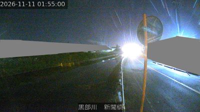


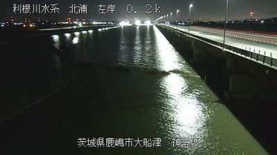

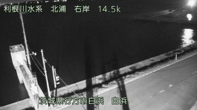

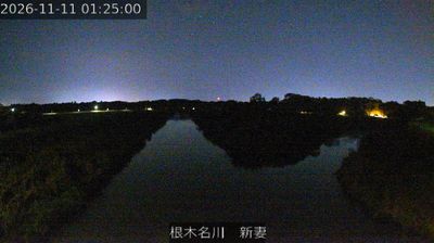

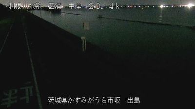

Kamisu stretches across the coastal plain between the lower Tone River and the Pacific Ocean in southeastern Ibaraki Prefecture, a position that has linked the city to river transport and heavy industry. The Tone, one of Japan’s major rivers, meets the sea near Kamisu’s southern edge, while the port area forms part of the Kashima coastal industrial zone. Ikisu Shrine, traditionally counted with Kashima and Katori shrines among eastern Japan’s three great shrines, provides a religious landmark beyond the factories and freight routes. Its broad, low-lying setting contrasts with Ibaraki’s mountainous interior. Browse other webcams across Ibaraki Prefecture and the lower Tone River region to place this setting in a wider geographic context.
2 webcams
Ibaraki Prefecture has served as an administrative and agricultural heartland within eastern Japan since the Edo period. Spreading across the northeastern Kantō Plain, it meets the Pacific Ocean to the east and is shaped inland by Lake Kasumigaura, Japan’s second-largest lake. Mount Tsukuba, with its two distinctive summits, is a defining landmark west of the lake. The prefectural capital, Mito, was the seat of a Tokugawa branch domain; its Kairakuen garden was created in 1841 by Tokugawa Nariaki and is celebrated for its plum groves. Agriculture remains central, from rice fields to melon cultivation, while the coast adds fishing ports and broad beaches. Explore additional webcams nearby to understand how Ibaraki Prefecture connects with the Kantō Plain and Pacific shore.
17 webcams
Among the countries of East Asia, Japan stands out for its volcanic archipelago, stretching from the cool north of Hokkaido to subtropical Okinawa. Mount Fuji, the nation’s highest mountain, rises above central Honshu, while the Pacific Ocean and the Seto Inland Sea have long shaped settlement, fishing and travel. Tokyo pairs dense urban life with major museums and neighbourhood traditions; Kyoto preserves temples, gardens and the legacy of Japan’s imperial court. Seasonal customs give journeys a changing rhythm, from spring cherry blossom viewing to autumn leaves. Regional cooking is equally varied, with sushi, ramen and local specialties reflecting coastlines, climate and agriculture. Explore nearby webcam locations that provide complementary perspectives on Japan’s islands, cities and mountain regions.
1.3K webcams