 Seongsu 1(il)-ga 1(il)-dong
 has served as an industrial district on Seoul’s eastern Han River bank since the second half of the 20th century. This part of Seongsu-dong developed around small-scale manufacturing, notably shoe production, and many former factory buildings now accommodate cafés, studios and shops. The Han River is Seoul’s central waterway, while Seongsu Bridge and Dongho Bridge are major road crossings nearby. Riverside roads, mature greenery and high-rise housing underline the district’s place in the rapidly changing urban fabric east of central Seoul.
Generated by AI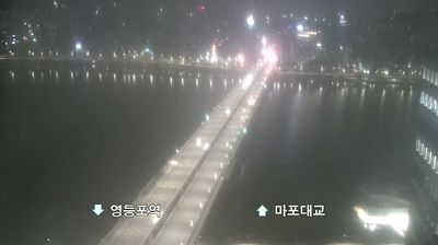
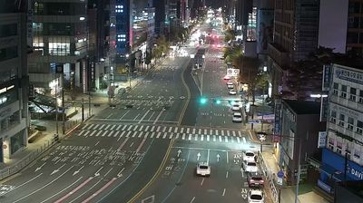
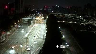
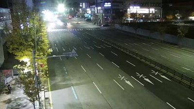
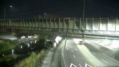
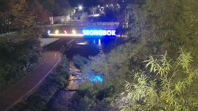
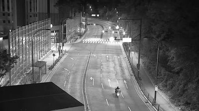
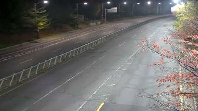

Among Seoul’s neighbourhoods, Seongsu 1(il)-ga 1(il)-dong stands out for the reinvention of former industrial buildings as cafés, studios and independent shops. Close to the Han River on the city’s eastern side, it has become a focal point for design, fashion and small-scale food businesses while retaining traces of its manufacturing past, particularly in footwear production. Seoul Forest, a large public park opened in 2005, lies alongside the district and provides a counterpoint to its dense streets and converted warehouses. The area reflects a changing Seoul where production spaces and contemporary urban culture meet. Move on to other webcams in Seoul to compare neighbourhoods and riverside settings around the Korean capital.
1 webcam
Seoul combines high-density urban energy with mountain-framed open space in a way that reflects its position within the Han River basin. Around Namsan, near the city’s geographic centre, wooded slopes rise above districts threaded by major roads and rail lines; the N Seoul Tower is one of the capital’s most recognisable markers. North of the mountain, Gyeongbokgung Palace recalls Seoul’s role as the Joseon dynasty’s capital, while markets, university quarters and business districts underline the pace of a metropolis constantly in motion. The broad Han River creates a rare horizontal pause in this vertical city, with parks, paths and public spaces along its banks. Continue with other webcams from the area to see how this part of Seoul connects across the Han River corridor.
3 webcams
South Korea stretches from the mountainous border with North Korea to Jeju Island, encompassing forested ranges, fertile river basins and a deeply indented southern coast. The Taebaek Mountains run along much of the east, while the Han River crosses Seoul before reaching the Yellow Sea. Busan faces the Korea Strait, and tidal flats and islands shape the country’s western shore. Seoul combines dense contemporary districts with royal Joseon sites, including Gyeongbokgung Palace, first built in 1395. Kimchi and bibimbap are central to everyday cuisine, while the Korean alphabet, Hangeul, was created in the 15th century. Find related webcams in the surrounding area to build a fuller picture of South Korea’s coasts, mountains and cities.
164 webcams