 Domzale: A1/E57, Maribor - Ljubljana, priključek Krtina
Domžale sits along the Kamniška Bistrica in central Slovenia, where the Ljubljana Basin meets the foothills of the Kamnik–Savinja Alps. Northeast of Ljubljana, it has developed from a market settlement into a residential and business centre closely connected to the capital by rail and road. Its defining local tradition is straw-hat making: Domžale became an important Slovenian centre of the craft, now remembered at the Straw Hat Museum. The Kamniška Bistrica forms a green corridor through the town, while the surrounding plain stretches towards Kamnik and the alpine valleys. Nearby Arboretum Volčji Potok, a major public park on a former estate, adds another cultural and horticultural landmark to the area.
Generated by AI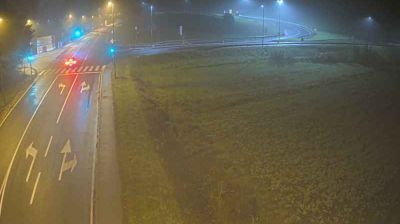
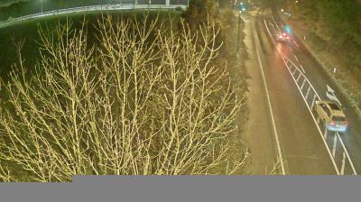
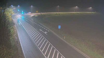
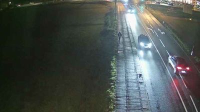
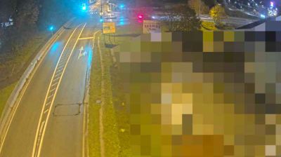
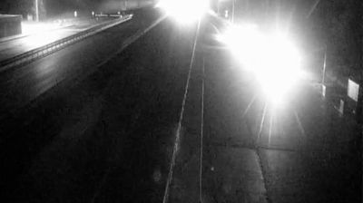


Domžale sits on the Kamniška Bistrica River in central Slovenia, where the Ljubljana Basin reaches toward the Kamnik–Savinja Alps. Just north of Ljubljana, the town combines a working urban centre with riverbank paths and a lowland setting shaped by the nearby Sava valley. Domžale became one of Slovenia’s key straw-hat-making centres in the 19th and early 20th centuries; the Straw Hat Museum documents the craft that gave the town an industrial identity. The nearby Volčji Potok Arboretum adds a major horticultural destination to the area. Explore nearby webcam locations that provide complementary perspectives on Domžale and central Slovenia.
4 webcams
Upravna enota Domžale has served as a local administrative centre within Slovenia since the mid-1990s. It covers a developed stretch of central Slovenia north-east of Ljubljana, where the Kamniška Bistrica crosses a mosaic of settlements, fields and wooded foothills. Domžale is closely associated with straw-hat making, an industry that left a lasting mark on the town’s identity and is documented at its Straw Hat Museum. The area also includes Volčji Potok, known for the Arboretum Volčji Potok and its extensive parkland. Road and rail links place the district in Ljubljana’s wider urban orbit, while the Sava plain and the Kamnik–Savinja Alps remain close reference points. Discover how Upravna enota Domžale connects with central Slovenia by browsing webcams nearby.
14 webcams
Slovenia occupies a meeting point of the Alps, the Pannonian Plain, the Dinaric mountains and the Adriatic coast in south-central Europe. The Julian Alps rise in the northwest, where Triglav is the country’s highest mountain, while the Soča River is known for its clear turquoise water. Karst terrain has shaped caves such as Postojna Cave and the Škocjan Caves, a UNESCO World Heritage site. Ljubljana combines a riverside old town with works by architect Jože Plečnik; farther east, wine-growing regions and thermal springs add another dimension. Slovenian food reflects Alpine, Mediterranean and Balkan influences. Find related webcams in the surrounding area to build a fuller picture of Slovenia and the northern Adriatic.
783 webcams