 Pajara: Morro Jable - Fuerteventura Sailing Trips - Segeltörns-Viajes de vela
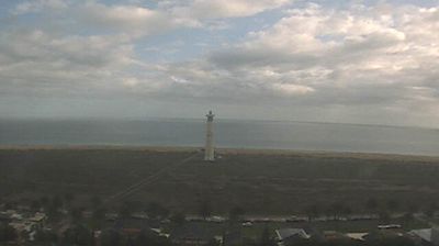
Morro Jable has served as a fishing settlement on Fuerteventura’s Jandía Peninsula since the late 19th century. It now forms the southern resort centre of Pájara, spreading from the older harbour district along the Atlantic shore. Playa del Matorral runs east towards the Jandía salt marshes, a protected coastal wetland whose lighthouse is a familiar local marker. Low-rise hotels, apartments and seafront businesses have grown around the original settlement, while the harbour remains a base for fishing craft, excursion boats and ferry connections with Gran Canaria. The Jandía Peninsula is Fuerteventura’s broadest and most mountainous area, with dry slopes descending towards the ocean.
Generated by AI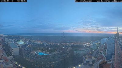

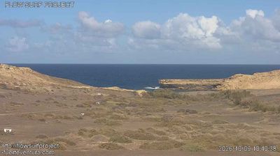

Pájara has served as an agricultural centre in southern Fuerteventura since the 17th century. Set inland in a broad valley, the municipal seat lies between the island’s dry volcanic slopes and the Atlantic coast, while its municipality reaches south to the Jandía Peninsula and Jandía Natural Park. The whitewashed Church of Nuestra Señora de Regla, begun in the 17th century, is noted for the unusual carved motifs on its façade, often linked to American influences. Pájara municipality also includes Morro Jable and the long beaches of the Jandía coast, a marked contrast to the quieter rural interior. Browse other webcams across Fuerteventura and the Canary Islands to place Pájara in a wider geographic context.
5 webcams
The Canary Islands have served as an Atlantic crossroads within Spain since the fifteenth century. This volcanic archipelago lies off northwestern Africa, where the Atlantic Ocean, trade winds and sharply varying terrain shape climates ranging from dry coasts to cool uplands. Tenerife is home to Mount Teide, Spain’s highest peak, while the Teide National Park is a UNESCO World Heritage Site. Across the islands, black-sand shores, lava fields and cultivated slopes reflect their volcanic origins. Carnival traditions, especially those of Santa Cruz de Tenerife, remain an important part of the local calendar. View additional webcams nearby to better understand how the Canary Islands relate to the Atlantic and to one another.
74 webcams
Spain extends from the Cantabrian coast to the Canary Islands, encompassing Atlantic shores, Mediterranean beaches and the broad interior Meseta. The Pyrenees form its northeastern frontier, while the Guadalquivir crosses Andalusia on its way to the Atlantic. Madrid anchors the country’s political and cultural life, but distinct regional identities are central to Spain’s character: Catalonia, the Basque Country, Galicia and Andalusia each have their own languages or strong local traditions. Granada’s Alhambra is a major monument of the medieval Nasrid dynasty, and Santiago de Compostela remains the destination of the Camino de Santiago. Browse related webcams around the Iberian Peninsula to build a fuller picture of Spain.
1.4K webcams