Pajara
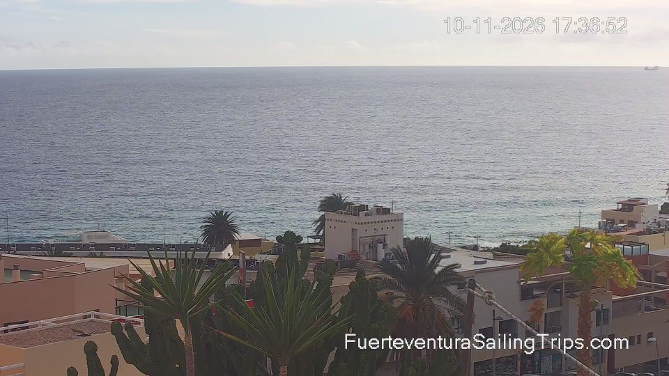
Pájara has served as an agricultural centre in southern Fuerteventura since the 17th century. Set inland in a broad valley, the municipal seat lies between the island’s dry volcanic slopes and the Atlantic coast, while its municipality reaches south to the Jandía Peninsula and Jandía Natural Park. The whitewashed Church of Nuestra Señora de Regla, begun in the 17th century, is noted for the unusual carved motifs on its façade, often linked to American influences. Pájara municipality also includes Morro Jable and the long beaches of the Jandía coast, a marked contrast to the quieter rural interior. Browse other webcams across Fuerteventura and the Canary Islands to place Pájara in a wider geographic context. Generated by AI


Featured webcams


Popular webcams
Recently added webcams