Farleigh: Rural View
1 -21.07°, 149.16° S
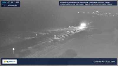
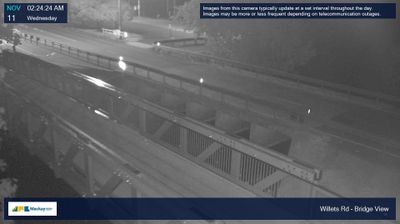
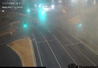
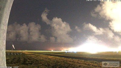
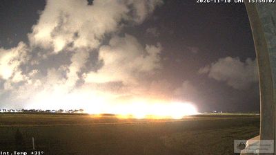
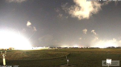
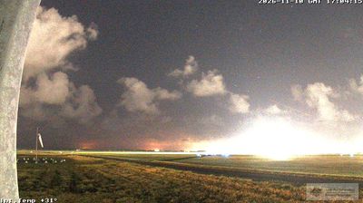
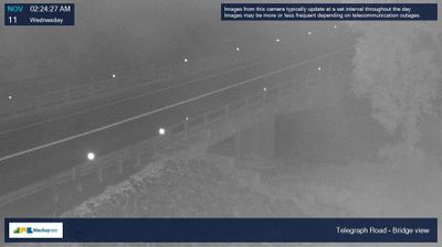
Farleigh combines a cane-growing hinterland character with expanding urban fabric north of Mackay, reflecting its position on Queensland’s central coast. It belongs to a district shaped by the Pioneer River, which reaches the Coral Sea at Mackay, and by lowland plains long used for sugarcane. Bucasia Road runs through nearby Rural View, where housing growth, major roads and drainage corridors meet. Farleigh Mill is part of the Mackay district’s long-established sugar industry, still central to the local economy. North of Mackay, the coastal strip continues towards Bucasia and other beachside communities, while inland land use keeps the working character that distinguishes this part of the region.
Generated by AI