 Whitemark: Mackay Airport -> 225 deg
Mackay Airport lies along Queensland’s Coral Sea coast, where a broad, low coastal plain extends from the city toward the Pioneer River and inland ranges. The airport sits on Mackay’s southern urban edge and is an important air link for this regional centre in central Queensland. Mackay grew with the expansion of sugar-cane farming after its establishment in the 1860s, and cane remains central to the district’s identity and economy. Its streets and riverfront serve a city shaped by the tropics, while the nearby coast leads to beaches and island waters of the Great Barrier Reef Marine Park. Around the airport, open grassed land, airfield infrastructure and low-rise development underline the area’s flat terrain.
Generated by AI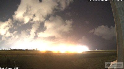
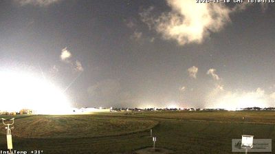
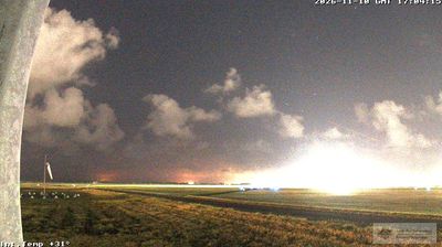
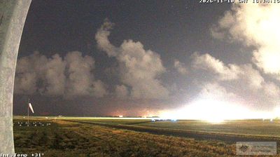



Whitemark is best known in Tasmania for being the principal settlement on Flinders Island. On the island’s east coast, it faces Bass Strait and serves as the practical hub for this sparsely populated part of the Furneaux Group. The Strzelecki Peaks rise in Flinders Island’s south, while the roads beyond town reach beaches, farmland and smaller coastal communities. At nearby Emita, the Furneaux Museum documents the islands’ Aboriginal heritage and maritime past. Whitemark is modest in scale, yet central to local services and island life. View additional webcams nearby to better understand how Whitemark and Flinders Island relate to the Bass Strait surroundings.
2 webcams
Among Australia’s regions, Tasmania stands out for its island setting south of Bass Strait and its large tracts of protected wilderness. Rugged mountain country, temperate rainforest and a deeply indented coastline give the state a character distinct from mainland Australia. Cradle Mountain–Lake St Clair National Park forms part of the Tasmanian Wilderness World Heritage Area, while Lake St Clair lies among the Central Highlands. On the Tasman Peninsula, Port Arthur preserves one of Australia’s best-known former convict settlements and is included in the UNESCO-listed Australian Convict Sites. Trace Tasmania’s place between Bass Strait and the Southern Ocean by browsing webcams nearby.
76 webcams
Australia’s terrain extends from tropical rainforests in the northeast to arid plains in the interior, producing dramatic climatic contrasts. The Great Dividing Range follows much of the eastern coast, while the Great Barrier Reef lies off Queensland in the Coral Sea and Uluru rises from the central desert. Aboriginal and Torres Strait Islander peoples maintain living cultures whose connections to Country long predate European settlement. In Sydney, the sail-like Opera House, completed in 1973, stands beside one of the world’s best-known harbours. Discover further points of interest through webcams located across Australia.
1.7K webcams