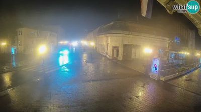
Mahala: GP Bosanski Brod - Ulaz u BiH
2 45.14°, 18.01°
Republika Srpska extends from the Sava River on Bosnia and Herzegovina’s northern frontier to the Drina along much of its eastern border, encompassing Dinaric hills, broad river valleys and fertile northern plains. It is one of the country’s two entities, as set out by the 1995 Dayton Peace Agreement, and its territory is not continuous: a western area around Banja Luka is separated from the eastern portion. The Vrbas runs through Banja Luka, the entity’s administrative centre, where Kastel Fortress recalls the city’s long strategic position on the river. Orthodox churches, monasteries and family food traditions remain an important part of local identity. Browse nearby webcams to discover different parts of Republika Srpska.
Generated by AI Nearby webcams