 Oyama
The landscape around Oyama is a broad alluvial plain along the Omoigawa River, which has shaped both the built environment and local life. The river runs through this southern Tochigi city before joining the Watarase River, leaving a wide managed riverbed crossed by roads and bridges including Kankō Bridge. Oyama developed as a transport and commercial centre on the northern Kanto Plain, and its rail links now connect it closely with the Tokyo metropolitan area. The river corridor remains a substantial open space within the city, supporting paths, recreation and flood management. Local tradition is represented by the Oyama Gion Festival around Suga Shrine, when portable shrines and festival music animate the streets. Oyama combines the practical scale of a regional city with the spacious geography of the Kanto Plain.
Generated by AI
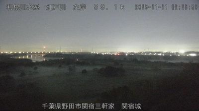
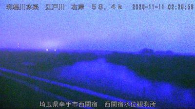

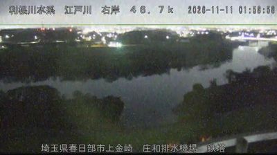
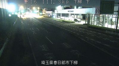
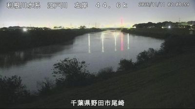
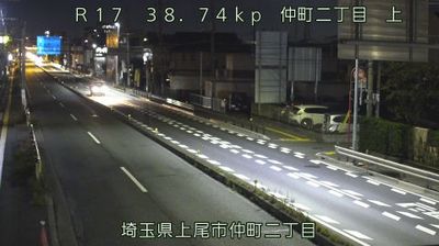

Oyama occupies a broad section of the Kantō Plain along the Omoigawa River in southern Tochigi Prefecture. The city is an important rail crossroads: Oyama Station is served by the Tōhoku Shinkansen as well as JR’s Utsunomiya, Mito and Ryōmō lines, linking it with Tokyo and cities across the northern Kantō region. Riverside walks are closely associated with Omoigawa-zakura, a locally named cherry variety that marks spring in the city. Beyond the built-up centre, the level plain remains shaped by farmland and river corridors. Browse additional webcams nearby to see how Oyama and southern Tochigi relate to the wider Kantō Plain.
1 webcam
Tochigi Prefecture is best known within Japan for the UNESCO-listed Shrines and Temples of Nikko. Set north of the Tokyo metropolitan area, it ranges from the lowlands of the Kanto Plain to forested mountains and volcanic terrain around Nikko and Nasu. The Kinugawa River runs through the prefecture, passing the resort town of Kinugawa Onsen. Nikko’s Toshogu Shrine, dedicated to Tokugawa Ieyasu, is renowned for its elaborate carvings and forms part of the World Heritage site. Tochigi is also associated with strawberries and the historic pottery town of Mashiko. Browse additional webcams from the surrounding area to extend your view of Tochigi Prefecture.
10 webcams
Among the countries of East Asia, Japan stands out for its volcanic archipelago, stretching from the cool north of Hokkaido to subtropical Okinawa. Mount Fuji, the nation’s highest mountain, rises above central Honshu, while the Pacific Ocean and the Seto Inland Sea have long shaped settlement, fishing and travel. Tokyo pairs dense urban life with major museums and neighbourhood traditions; Kyoto preserves temples, gardens and the legacy of Japan’s imperial court. Seasonal customs give journeys a changing rhythm, from spring cherry blossom viewing to autumn leaves. Regional cooking is equally varied, with sushi, ramen and local specialties reflecting coastlines, climate and agriculture. Explore nearby webcam locations that provide complementary perspectives on Japan’s islands, cities and mountain regions.
1.3K webcams