 Tholey
 has served as a monastic centre in Saarland since the Early Middle Ages. The municipality lies beneath the Schaumberg, a 569-metre hill whose wooded slopes shape the settlement and the surrounding uplands. Tholey Abbey, dedicated to Saint Maurice, is among Germany’s oldest monastic foundations; its church was rebuilt after wartime destruction and remains the town’s defining landmark. The wider municipality combines compact residential districts with fields and woodland typical of northern Saarland. This is a small but distinctly elevated part of the state, where the hill country gives Tholey a clear identity.
Generated by AI
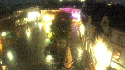
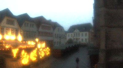
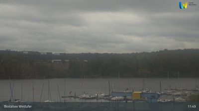
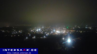

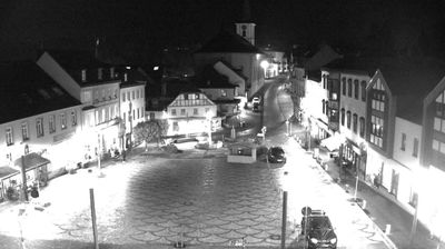


The Schaumberg hill defines the setting of Tholey — its wooded slopes rise above this Saarland community and make the hill a constant reference point in local life. At 569 metres, Schaumberg is one of the region’s prominent heights, crowned by the Schaumberg Tower. Tholey Abbey, a Benedictine house with roots in the early Middle Ages, gives the town its strongest historical identity. Its abbey church received contemporary stained-glass windows designed by Gerhard Richter, linking a long-established monastic site with modern art. Forest paths and the broader uplands around the settlement suit an unhurried exploration of northern Saarland. View additional webcams nearby to better understand how Tholey relates to the Saarland uplands.
2 webcams
The terrain of Saarland ranges from wooded uplands in its northern districts to broader river valleys along the Saar in the south, giving this small German state a compact, rolling character. The Saar is the region’s defining waterway, passing through Saarbrücken before meeting the Moselle at Konz. Saarbrücken developed around coal mining and ironmaking, industries that shaped much of Saarland’s modern identity. In Völklingen, the former ironworks is a UNESCO World Heritage Site and a major record of that industrial era. Near Mettlach, the Saar forms its celebrated tight bend, the Saarschleife. Borders with France and Luxembourg reinforce Saarland’s cross-border outlook. View additional webcams nearby to better understand how Saarland relates to its surroundings.
22 webcams
Germany stretches from the North Sea and Baltic Sea coasts to the Alps on its southern border, encompassing northern plains, river valleys and forested uplands. The Rhine, Danube and Elbe have long connected its regions, while the Black Forest and Bavarian Alps give the south a more dramatic relief. Berlin’s Brandenburg Gate and Museum Island reflect the capital’s role in German history and culture. Cologne Cathedral, a UNESCO World Heritage Site, rises above the Rhine, and the Bauhaus movement, founded in Weimar in 1919, transformed modern design far beyond Germany. Regional cooking, Christmas markets and brewing traditions bring further character to daily life. Browse additional webcams from the surrounding area to extend your view of Germany.
2.8K webcams