 Wloszczowa
Few towns in the Świętokrzyskie region have a history as closely tied to private ownership as Włoszczowa. Granted town rights in 1530, it developed as a local centre on the routes between Kielce, Częstochowa and Końskie. Its streets retain the scale of a small Polish county town, with homes, shops and public institutions clustered along central roads. Włoszczowa lies on the Czarna Struga, in a lowland area of fields and woodland. A more recent chapter is Włoszczowa Północ, a station on Poland’s Central Rail Line, opened in 2006 and connecting the town to the national long-distance rail network.
Generated by AI
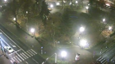
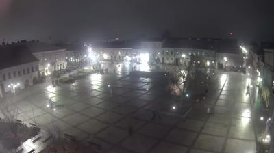
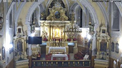

Włoszczowa sits on the Czarna Struga in Poland’s Holy Cross Voivodeship, where historic Lesser Poland meets the region’s largely rural south-west. Granted town rights in 1539, it grew as a local centre for the agricultural countryside rather than as a major industrial city. The Church of the Assumption of the Blessed Virgin Mary is a prominent element of its traditional townscape. Włoszczowa Północ station on the Central Rail Line also places this small county seat on an important route between central and southern Poland. Continue with other webcams from the area to see how this part of the Holy Cross Voivodeship connects regionally.
1 webcam
The terrain of Holy Cross Voivodeship ranges from the forested Świętokrzyskie Mountains in its north-central belt to the limestone hills and river valleys of the Nida Basin in the south, giving the region a compact but varied inland character. Łysica, at 614 metres, is the highest point of the Świętokrzyskie Mountains, while the Nida flows through a quieter agricultural district. Kielce, the voivodeship capital, is home to the 17th-century Palace of the Kraków Bishops. The Holy Cross monastery on Łysa Góra gave the region its name and remains a defining spiritual landmark. Continue with other webcams from the area to see how this part of south-central Poland connects regionally.
20 webcams
Poland stretches from the Baltic Sea coast in the north to the Carpathian Mountains along its southern frontier, encompassing broad lowlands, lake districts and upland ranges. The Vistula, the country’s longest river, links Kraków and Warsaw before reaching the Baltic near Gdańsk, while the Masurian Lake District is defined by a dense network of lakes. Kraków’s historic centre, including Wawel Castle, recalls Poland’s former royal capital; Warsaw’s rebuilt Old Town speaks to the city’s recovery after the Second World War. The Białowieża Forest preserves one of Europe’s last primeval lowland forests and is home to European bison. Follow how Poland’s regions relate to one another by browsing webcams across the country.
715 webcams