 Ciudad del Este: Ponte da Amizade
Among the places of Alto Paraná, Ciudad del Este stands out for the Friendship Bridge, the road link spanning the Paraná River to Foz do Iguaçu in Brazil. Opened in 1965, the bridge is a defining piece of infrastructure in the wider frontier zone shared by Paraguay, Brazil and Argentina. Ciudad del Este developed on the Paraguayan bank as a major commercial centre, with trade and cross-border movement shaping its urban rhythm. Its streets and retail districts lie close to the river, while the wooded Paraná corridor forms a marked counterpoint to the built-up centre. The city also sits near the Itaipu Dam, one of the world’s largest hydroelectric projects, underlining the strategic importance of this stretch of the Paraná.
Generated by AI

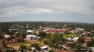
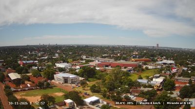
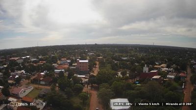

Ciudad del Este stands on Paraguay’s boundary with Brazil along the Paraná River in Alto Paraná, a position that has made it one of the country’s foremost centres of cross-border trade. The Friendship Bridge, opened in 1965, connects the city with Foz do Iguaçu in Brazil, within the wider Triple Frontier area also shared with Argentina. Founded in 1957 as Ciudad Presidente Stroessner, it received its present name after Paraguay’s democratic transition in 1989. Its dense commercial centre is shaped by shops, street vendors and a multilingual flow of Paraguayan, Brazilian and international customers. The Paraná remains a defining presence beside this fast-moving eastern city. Browse additional webcams from Alto Paraná to extend your view of Paraguay’s Paraná frontier.
1 webcam
Alto Paraná combines intense cross-border commerce with a predominantly subtropical agricultural interior in a way that reflects its position along the Paraná River on Paraguay’s eastern frontier. Ciudad del Este, the departmental capital, faces Brazil across the river and is linked to Foz do Iguaçu by the Friendship Bridge, making the international boundary part of everyday urban life. Farther north, the Itaipu Dam spans the Paraná between Paraguay and Brazil, and its reservoir has reshaped the river corridor. Soy and maize are major crops on the region’s red soils, while its towns reflect Paraguayan, Brazilian and wider immigrant influences. Browse other webcams across Paraguay’s eastern frontier to place Alto Paraná in a wider geographic context.
4 webcams
Organized around the Paraguay River system, Paraguay developed into a landlocked South American republic whose eastern and western regions have markedly different characters. East of the river, the more densely settled Región Oriental includes Asunción, the capital, and fertile farming country; to the west, the Gran Chaco extends across a broad, sparsely populated plain. The Paraná River marks much of the eastern frontier and powers the binational Itaipú Dam with Brazil. Spanish and Guaraní are both official languages, while tereré, a cold yerba mate infusion, is a familiar social ritual. The Jesuit Missions of La Santísima Trinidad de Paraná and Jesús de Tavarangue preserve a chapter of the colonial era. Place Paraguay in its South American setting by browsing webcams nearby.
5 webcams