 Velka Dobra
Velká Dobrá lies along the Prague–Karlovy Vary corridor, in open Central Bohemian country of broad fields and gently rolling ground. The settlement is near the D6, the principal road linking the capital with western Bohemia, yet its immediate setting remains agricultural and low-density. Fields, farm buildings and scattered development set the local scale rather than urban streets. Kladno, east of the village, provides the region’s strongest historical contrast: coal mining and ironmaking made the city a major industrial centre in the Czech lands. Velká Dobrá sits where Prague’s outer transport routes meet the working countryside of the Kladno area.
Generated by AI




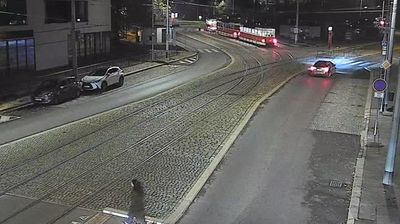

Velká Dobrá combines a quiet upland setting with direct road links to Prague in a way that reflects its position in Central Bohemia, near the Křivoklátská vrchovina highlands. Southwest of Kladno, the municipality sits among gently rolling fields, small woodland patches and scattered settlements. The D6 route places it on an important connection between the capital and western Bohemia, yet the village remains distinct from Prague’s continuous urban development. Its name is paired locally with neighbouring Malá Dobrá, reflecting the region’s dense pattern of small communities. Continue with other webcams from the area to see how this part of Central Bohemia connects between Prague, Kladno and western Bohemia.
1 webcam
The terrain of the Central Bohemian Region ranges from fertile Elbe lowlands in the north to wooded uplands in the south, creating a varied setting of rivers, farmland and old towns. The Vltava crosses the region before joining the Elbe at Mělník, while the countryside around Prague has long supplied and connected the capital. Karlštejn Castle, founded by Charles IV in 1348, recalls the medieval importance of this area; Kutná Hora preserves the legacy of silver mining that once ranked among the kingdom’s key sources of wealth. Roads, railways and river valleys still make Central Bohemia the country’s geographic core. Continue with other webcams from the area to see how this part of central Czechia connects regionally.
92 webcams
The terrain of Czechia ranges from fertile lowlands in southern Moravia to mountain ridges along the northern frontier, giving this Central European country a distinctly varied geography. The Vltava runs through Prague before joining the Elbe, while the Krkonoše form part of the border with Poland and include Sněžka, Czechia’s highest mountain. Prague’s historic centre, with Prague Castle and Charles Bridge, reflects the city’s long role as a political and cultural centre. Beyond the capital, Bohemia is known for spa towns and brewing, and Moravia for wine-growing traditions. View additional webcams nearby to better understand how Czechia relates to its Central European surroundings.
1.4K webcams