 Prague: Václav Havel Airport Prague
Built around an airfield on Prague’s northwestern edge, Václav Havel Airport Prague grew into Czechia’s principal international airport. It opened in 1937 as Prague–Ruzyně Airport, and its original terminal is a landmark of Czech functionalist architecture. Renamed in 2012 for Václav Havel, the playwright, dissident and first president of the Czech Republic, it connects the capital with European and longer-haul destinations. The airport occupies an open plateau beyond Prague’s dense core; the Vltava River runs through the city to the southeast, while runways, taxiways and terminal areas form a major transport landscape at its edge.
Generated by AI
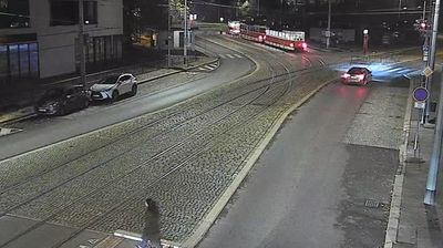
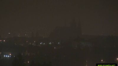



Tucked along the bends of the Vltava River in the heart of Bohemia, Prague is a city whose character is shaped by its riverbanks and hilltop districts. Prague Castle rises above the left bank, while the medieval Charles Bridge, completed in 1402, connects Malá Strana with the Old Town. Gothic, Baroque and Art Nouveau buildings share the centre with busy squares, theatres and cafés, reflecting Prague’s long role as the Czech capital. The Old Town Astronomical Clock, installed in 1410, remains one of its defining public landmarks. Discover how Prague belongs to the wider Bohemian setting by browsing webcams in the surrounding area.
125 webcams
Built around crossings of the Vltava River, Hlavní město Praha grew into Czechia’s capital and largest city. Its historic core on both banks of the river brings together the medieval Charles Bridge, Old Town Square and Prague Castle, whose origins date to the 9th century. The city centre has been a UNESCO World Heritage Site since 1992. Beyond its major monuments, Prague is a living European capital of distinct neighbourhoods, parks, universities and cafés, with tram lines linking riverfront districts to the surrounding hills. Czech, Jewish and Central European traditions remain visible in its streets and architecture. Continue through nearby webcams to explore different parts of Prague.
125 webcams
The terrain of Czechia ranges from fertile lowlands in southern Moravia to mountain ridges along the northern frontier, giving this Central European country a distinctly varied geography. The Vltava runs through Prague before joining the Elbe, while the Krkonoše form part of the border with Poland and include Sněžka, Czechia’s highest mountain. Prague’s historic centre, with Prague Castle and Charles Bridge, reflects the city’s long role as a political and cultural centre. Beyond the capital, Bohemia is known for spa towns and brewing, and Moravia for wine-growing traditions. View additional webcams nearby to better understand how Czechia relates to its Central European surroundings.
1.2K webcams