 Municipal Unit of Drapetsona
Drapetsona lies along the Saronic Gulf on Piraeus’s western waterfront, where compact residential streets meet the docks and industrial ground of the greater port. Though administratively part of Keratsini-Drapetsona, it remains closely tied to Piraeus, Greece’s principal passenger and commercial harbour and the maritime hub of Attica. The district grew rapidly with workers and refugee families who arrived from Asia Minor after 1922, a history still central to its urban identity. Its coast includes the former Lipasmata fertiliser works, whose industrial site has been converted into a public park and cultural venue. Across the water lies the island of Salamis, while the Athens metropolitan area extends east across the Attica plain.
Generated by AI
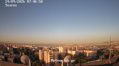
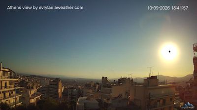

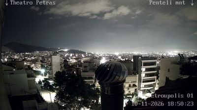
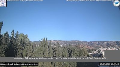



The Municipal Unit of Drapetsona has served as an industrial waterfront on the Saronic Gulf in Attica since the early 20th century. It lies beside the port of Piraeus, where shipping, ship repair and heavy industry long shaped the shoreline and daily life. The former Greek Fertilizers works, established in 1909, is a key reminder of that working heritage; parts of its grounds now form the Lipasmata cultural and recreation area. Drapetsona remains closely tied to the maritime economy of greater Piraeus while facing the busy waters of the gulf. Trace Drapetsona’s place in the Piraeus area by browsing nearby webcams.
1 webcam
Attica combines the dense energy of Athens with the maritime calm of the Saronic Gulf, reflecting its position between the gulf and the Aegean Sea. Greece’s political and cultural centre also extends to coastal headlands and islands, including Hydra in the Saronic Islands. The Acropolis of Athens, crowned by the Parthenon, is its defining ancient monument, while Piraeus connects the capital with sea routes across Greece. At Cape Sounion, the Temple of Poseidon stands above the Aegean at Attica’s southern edge. Continue through nearby webcams to explore different parts of Attica.
39 webcams
Greece occupies a mountainous peninsula and island-dotted coastline in southeastern Europe. The Aegean Sea shapes its eastern shore, while the Ionian Sea lies to the west; Crete is the country’s largest island. Athens is anchored by the Acropolis, where the Parthenon has stood since the fifth century BCE as a defining monument of classical antiquity. Beyond the capital, the Pindus Mountains run through the mainland, and Mount Olympus is associated in ancient Greek religion with the home of the gods. Greek food traditions centre on olive oil, seafood, cheeses and regional dishes, with long meals remaining an important part of social life. Continue through nearby webcams to explore the islands and mainland regions of Greece.
486 webcams