 Municipal Unit of Tavros
The Kifisos River defines the setting of Tavros — its low-lying corridor concentrates roads, rail lines and dense neighbourhoods between central Athens and Piraeus. Tavros is part of the Municipality of Moschato–Tavros in the Attica Basin, where apartment blocks, workshops, warehouses and local businesses form a closely built urban grid. Tavros railway station links the district with the wider Athens rail network. East of here lies Athens’s historic core, marked by the Acropolis, the ancient citadel crowned by the Parthenon. Tavros is defined less by monumental avenues than by the working and residential fabric of a metropolis shaped by transport links and proximity to the port.
Generated by AI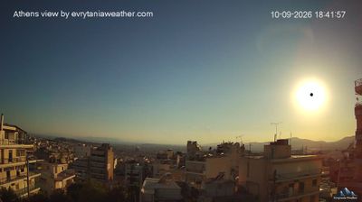


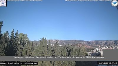

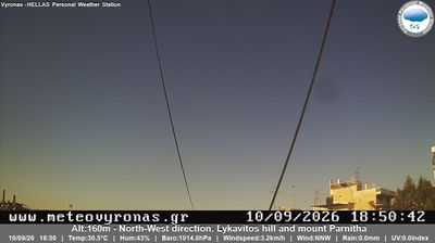
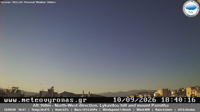
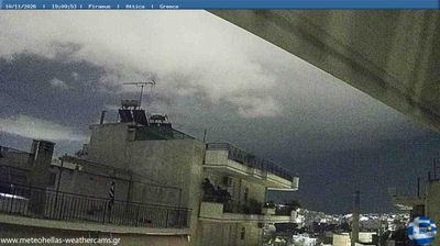

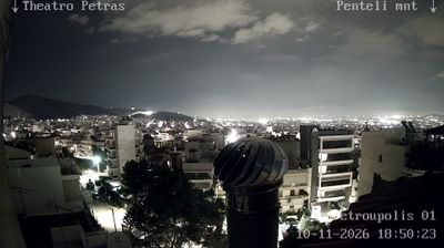

Among the urban districts of Attica, the Municipal Unit of Tavros stands out for its position near the Kifisos River, on Athens’s long-established rail and road corridor towards Piraeus. This densely built area lies just southwest of central Athens, where workshops, warehouses and housing grew around transport links rather than a historic tourist core. Tavros railway station is served by Athens Metro Line 1, connecting the district with Piraeus and the city centre. Since Greece’s 2011 local-government reform, Tavros has been one of the two municipal units of Moschato–Tavros. Explore nearby webcam locations that provide complementary perspectives on Tavros and greater Athens.
1 webcam
Attica combines the dense energy of Athens with the maritime calm of the Saronic Gulf, reflecting its position between the gulf and the Aegean Sea. Greece’s political and cultural centre also extends to coastal headlands and islands, including Hydra in the Saronic Islands. The Acropolis of Athens, crowned by the Parthenon, is its defining ancient monument, while Piraeus connects the capital with sea routes across Greece. At Cape Sounion, the Temple of Poseidon stands above the Aegean at Attica’s southern edge. Continue through nearby webcams to explore different parts of Attica.
39 webcams
Greece occupies a mountainous peninsula and island-dotted coastline in southeastern Europe. The Aegean Sea shapes its eastern shore, while the Ionian Sea lies to the west; Crete is the country’s largest island. Athens is anchored by the Acropolis, where the Parthenon has stood since the fifth century BCE as a defining monument of classical antiquity. Beyond the capital, the Pindus Mountains run through the mainland, and Mount Olympus is associated in ancient Greek religion with the home of the gods. Greek food traditions centre on olive oil, seafood, cheeses and regional dishes, with long meals remaining an important part of social life. Continue through nearby webcams to explore the islands and mainland regions of Greece.
486 webcams