 Dordrecht: Van Der Valk Hotel Dordrecht
The waterways of the Rhine–Meuse delta define the setting of Van der Valk Hotel Dordrecht — set by the A16 on the southern side of a city shaped by rivers, polders and major transport routes. Dordrecht stands on an island between the Oude Maas, Beneden Merwede and Dordtsche Kil, within the Dutch delta. The hotel occupies a business-oriented corridor rather than the medieval centre, making it part of the city’s modern edge. Dordrecht’s historic core is closely tied to trade: its strategic river position supported a major staple market in the Middle Ages. The Grote Kerk, with its distinctive unfinished tower, remains one of the city’s principal monuments. Nearby, De Biesbosch is a freshwater tidal wetland formed after the St Elizabeth’s Flood of 1421.
Generated by AI
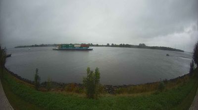
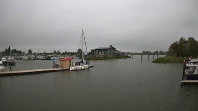

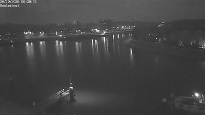

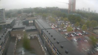
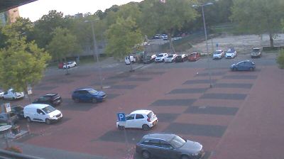

Dordrecht straddles the river crossroads of the Oude Maas, Beneden Merwede and Noord in South Holland; its position on the Dutch delta made it an important medieval trading city. Its compact historic centre retains canals, old harbours and rows of former merchant houses, while the Grote Kerk’s massive, unfinished tower remains a defining landmark. In 1618–19, the Synod of Dordrecht met here, a pivotal event for the Dutch Reformed Church. The tidal wetlands of De Biesbosch lie just beyond the city. Browse webcams nearby to place Dordrecht within the wider Rhine–Meuse delta.
2 webcams
South Holland occupies a low-lying coastal belt in the western Netherlands. Its densely settled terrain is organised around the Rhine–Meuse delta, with the Nieuwe Maas running through Rotterdam before reaching the North Sea. Rotterdam, home to Europe’s largest port, gives the province an unmistakably international, industrial character; the Erasmus Bridge has become one of its defining modern landmarks. Beyond the city, polders, canals and long North Sea beaches shape places such as Delft, The Hague and the coastal resorts. Explore additional webcams nearby to see how South Holland connects with the Dutch delta and coast.
22 webcams
Among the countries of northwestern Europe, the Netherlands stands out for its carefully managed lowlands in the Rhine–Meuse–Scheldt delta. Much of the country lies low in relation to the sea, and dikes, dunes, pumps and polders are integral to its everyday geography. The North Sea coast ranges from broad beaches to the Wadden Sea, a tidal area shared with Germany and Denmark. Amsterdam’s 17th-century canal ring recalls an era when Dutch trade connected the republic with ports around the world. Beyond the capital, bicycles, dairy farming, bulb fields and compact historic cities give the country a distinct rhythm. Rotterdam’s port and the Delta Works show how maritime commerce and water engineering remain central. View additional webcams nearby to better understand how the Rhine–Meuse–Scheldt delta relates to its North Sea surroundings.
124 webcams