 Moerdijk: Heijningen, Oude Heijningsedijk
Tucked into the low-lying polder country south of the Hollands Diep, Heijningen is a place whose character is shaped by land reclaimed, drained and defended by dikes. This small settlement lies in the municipality of Moerdijk, in the far west of North Brabant, where broad arable fields are divided by drainage ditches, farm tracks and long lines of trees. Oude Heijningsedijk belongs to the network of raised dikes that gives the area its measured geometry and protects the working landscape behind it. Here, the Dutch relationship with water is embedded in everyday agricultural land use, field boundaries and settlement patterns. Heijningen has a quiet rural identity, yet it forms part of the wider Rhine–Meuse delta, shaped for centuries by the management of river water, tides and polders.
Generated by AI
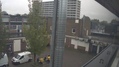

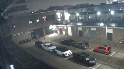

Moerdijk has served as a river-crossing settlement on the Hollands Diep in North Brabant since the Middle Ages. This broad waterway forms part of the Rhine–Meuse delta and separates the village from the Hoeksche Waard in South Holland. Parallel motorway and railway bridges make Moerdijk an important link between Brabant and the western Netherlands. The crossing gained tragic strategic significance during the German invasion of May 1940, when German airborne troops seized the bridges. Today, the nearby Port of Moerdijk underlines the area’s continuing transport and industrial role. Browse other webcams across North Brabant and the Rhine–Meuse delta to place Moerdijk in a wider geographic context.
1 webcam
North Brabant is best known within the Netherlands for the design and technology cluster centred on Eindhoven. This southern province extends from the Belgian border towards the Maas, with sandy heathlands, woods and farmland shaping much of its interior. Eindhoven’s links with Philips helped establish its modern industrial identity, while ’s-Hertogenbosch preserves the Gothic St John’s Cathedral and associations with painter Hieronymus Bosch, who was born there. In the east, De Peel recalls a landscape long altered by peat extraction and cultivation. Brewing and café culture remain an important part of everyday life in its cities and market towns. Explore nearby webcam locations that provide complementary perspectives on North Brabant.
8 webcams
Among the countries of northwestern Europe, the Netherlands stands out for its carefully managed lowlands in the Rhine–Meuse–Scheldt delta. Much of the country lies low in relation to the sea, and dikes, dunes, pumps and polders are integral to its everyday geography. The North Sea coast ranges from broad beaches to the Wadden Sea, a tidal area shared with Germany and Denmark. Amsterdam’s 17th-century canal ring recalls an era when Dutch trade connected the republic with ports around the world. Beyond the capital, bicycles, dairy farming, bulb fields and compact historic cities give the country a distinct rhythm. Rotterdam’s port and the Delta Works show how maritime commerce and water engineering remain central. View additional webcams nearby to better understand how the Rhine–Meuse–Scheldt delta relates to its North Sea surroundings.
124 webcams