 Kupres: BP Ćurković
Kupres straddles the northern rim of the Kupres Polje karst field in the Dinaric Alps of western Bosnia and Herzegovina, and its open upland position has made it a road and grazing centre for the surrounding plateau. Set at roughly 1,120 metres above sea level, the town has a compact built-up core beside broad pastureland and rounded hills. The polje is one of the country’s large karst fields, shaped by limestone, seasonal drainage and extensive grasslands. Kupres is closely associated with cattle breeding and Kupres cheese, a local dairy tradition. Today, roads through the town link upland communities across central and western Bosnia and Herzegovina.
Generated by AI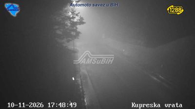



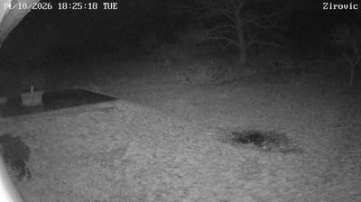
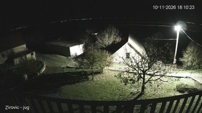

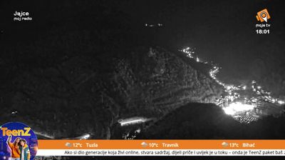
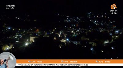

The landscape around Kupres is a high karst plateau in the Dinaric Alps, which has shaped both the town’s layout and its local economy. Kupreško Polje, the broad field beside the settlement, is framed by upland pasture and forest, with long winters that support skiing on the nearby Stožer and Čajuša slopes. Livestock raising and forestry remain part of the area’s identity. Kupres is also known for Dani kosidbe na Kupresu, a traditional mowing festival that keeps scythe-cutting customs and regional folk culture in public life. Continue with other webcams from the area to see how this part of the Dinaric highlands connects regionally.
1 webcam
The Federation of Bosnia and Herzegovina combines rugged highlands with milder Herzegovinian river valleys in a way that reflects its position within the Dinaric Alps of the western Balkans. One of the two entities of Bosnia and Herzegovina, it extends from the Una basin near the Croatian border to the Neretva valley and the Adriatic-facing south. Sarajevo is its capital, while Mostar’s Old Bridge, rebuilt after the 1990s war and inscribed on UNESCO’s World Heritage List, remains a powerful symbol of the country’s urban heritage. Ottoman-era bazaars, mosques and bridges stand alongside Austro-Hungarian streetscapes, particularly in Sarajevo. Browse additional webcams from the surrounding area to extend your view of the Federation of Bosnia and Herzegovina.
76 webcams
Bosnia and Herzegovina is best known internationally for Mostar’s Old Bridge, the stone arch over the Neretva River rebuilt after the 1990s war. The country lies in the Dinaric Alps, where karst plateaus, steep valleys and fast rivers shape much of the terrain. Sarajevo combines Ottoman-era lanes in Baščaršija with Austro-Hungarian architecture, reflecting its role as a meeting point of cultural traditions. In the south, the Neretva valley leads towards a short Adriatic coastline near Neum, while the Una River is known for its waterfalls. Browse additional webcams from the surrounding area to extend your view of Bosnia and Herzegovina.
97 webcams