 Žirović: Žirović
Žirović lies along the western edge of Livanjsko Polje, a vast karst field enclosed by the limestone ranges of the Dinaric Alps. This small settlement belongs to the rural hinterland of Livno in southwestern Bosnia and Herzegovina, where homes, gardens and orchards stand beside narrow local lanes and cultivated plots. Livanjsko Polje is among the largest karst poljes in the world; its broad, level floor has long shaped local farming and seasonal grazing. Žirović has the unhurried scale of a working hamlet rather than an urban centre, with tiled-roof houses set amid private fields. The open basin and surrounding ridges give the area a distinctly Dinaric sense of space, while everyday land use remains central to its identity.
Generated by AI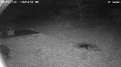




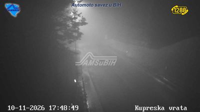
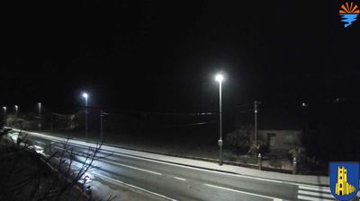


Zirović has served as a rural settlement in the Livno area of western Bosnia since the modern era. It lies in the karst country around Livanjsko Polje, one of Bosnia and Herzegovina’s largest karst fields, where open pastureland meets limestone hills. The nearby town of Livno is closely associated with Livanjski sir, a traditional local cheese that reflects the region’s long pastoral economy. This is a quiet corner of the Federation of Bosnia and Herzegovina, shaped more by broad uplands and farming than by urban life. Browse nearby webcams to place Zirović within the wider landscape of western Bosnia.
1 webcam
The Federation of Bosnia and Herzegovina combines rugged highlands with milder Herzegovinian river valleys in a way that reflects its position within the Dinaric Alps of the western Balkans. One of the two entities of Bosnia and Herzegovina, it extends from the Una basin near the Croatian border to the Neretva valley and the Adriatic-facing south. Sarajevo is its capital, while Mostar’s Old Bridge, rebuilt after the 1990s war and inscribed on UNESCO’s World Heritage List, remains a powerful symbol of the country’s urban heritage. Ottoman-era bazaars, mosques and bridges stand alongside Austro-Hungarian streetscapes, particularly in Sarajevo. Browse additional webcams from the surrounding area to extend your view of the Federation of Bosnia and Herzegovina.
77 webcams
Bosnia and Herzegovina is best known internationally for Mostar’s Old Bridge, the stone arch over the Neretva River rebuilt after the 1990s war. The country lies in the Dinaric Alps, where karst plateaus, steep valleys and fast rivers shape much of the terrain. Sarajevo combines Ottoman-era lanes in Baščaršija with Austro-Hungarian architecture, reflecting its role as a meeting point of cultural traditions. In the south, the Neretva valley leads towards a short Adriatic coastline near Neum, while the Una River is known for its waterfalls. Browse additional webcams from the surrounding area to extend your view of Bosnia and Herzegovina.
98 webcams