 Ensdorf: Saarpolygon
Saarpolygon combines the hard geometry of a steel sculpture with the open contours of a former mining spoil heap, reflecting Ensdorf’s industrial position in the Saar coalfield. Standing on the Duhamel heap, this 30-metre monument was inaugurated in 2016 as a memorial to Saarland coal mining. Its interlocking, walkable frames create a deliberately shifting outline and lead to platforms over the Saar valley. The site preserves a physical link to an industry whose final Saarland mines closed in 2012. Ensdorf lies beside the Saar between Saarlouis and Saarbrücken, in a region where former pits and heaps have become part of the public landscape.
Generated by AI




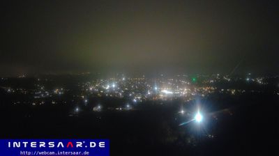

Among the towns of Saarland, Ensdorf stands out for the Saar Polygon, a steel monument on the former Duhamel spoil heap. The municipality lies on the Saar River, south of Saarlouis, in a landscape long shaped by coal mining and industry. Opened in 2016, the walkable Polygon commemorates the region’s mining heritage and forms a prominent landmark above the river valley. The closure of the Ensdorf coal mine in 2012 marked the end of an important chapter in Saarland mining. Today, the former industrial terrain reflects the changing use of land along the Saar. Discover other points of interest through webcams located across Saarland.
2 webcams
The terrain of Saarland ranges from wooded uplands in its northern districts to broader river valleys along the Saar in the south, giving this small German state a compact, rolling character. The Saar is the region’s defining waterway, passing through Saarbrücken before meeting the Moselle at Konz. Saarbrücken developed around coal mining and ironmaking, industries that shaped much of Saarland’s modern identity. In Völklingen, the former ironworks is a UNESCO World Heritage Site and a major record of that industrial era. Near Mettlach, the Saar forms its celebrated tight bend, the Saarschleife. Borders with France and Luxembourg reinforce Saarland’s cross-border outlook. View additional webcams nearby to better understand how Saarland relates to its surroundings.
21 webcams
Germany stretches from the North Sea and Baltic Sea coasts to the Alps on its southern border, encompassing northern plains, river valleys and forested uplands. The Rhine, Danube and Elbe have long connected its regions, while the Black Forest and Bavarian Alps give the south a more dramatic relief. Berlin’s Brandenburg Gate and Museum Island reflect the capital’s role in German history and culture. Cologne Cathedral, a UNESCO World Heritage Site, rises above the Rhine, and the Bauhaus movement, founded in Weimar in 1919, transformed modern design far beyond Germany. Regional cooking, Christmas markets and brewing traditions bring further character to daily life. Browse additional webcams from the surrounding area to extend your view of Germany.
2.3K webcams