 Eelderwolde: Weerstation Eelde
Eelderwolde lies along the northern edge of the Drenthe lowlands, where broad pasture, drainage ditches and scattered tree belts mark the transition toward the city of Groningen. This is a settled farming landscape rather than a resort centre, with open fields and small holdings threaded by local roads. Nearby Paterswoldsemeer forms part of the recreational waters south-west of Groningen, while the Drentsche Aa landscape extends across the province to the east. Drenthe is widely associated with hunebedden, prehistoric megalithic tombs among the Netherlands’ oldest monuments. Weerstation Eelde belongs to a rural corner shaped by agriculture, water management and the close relationship between countryside and city.
Generated by AI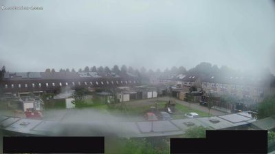


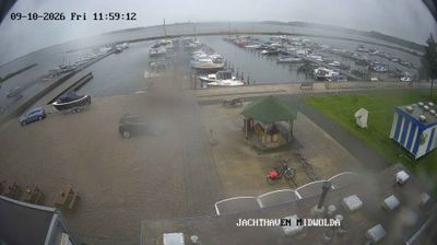
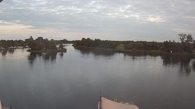

The landscape around Eelderwolde is a low-lying mosaic of peat meadows, drainage ditches and lakes, which has shaped both the settlement pattern and local agriculture. Paterswoldsemeer and Hoornsemeer lie to the north, while the wetlands of De Onlanden extend nearby; this area also serves an important water-storage function. Eelderwolde is part of the municipality of Tynaarlo in Drenthe, yet it is closely connected with the neighbouring city of Groningen. Once a rural hamlet, it has grown with the Ter Borch residential development, where newer homes sit alongside the older countryside fabric. Put Eelderwolde in its wider Drenthe–Groningen context by browsing webcams from nearby places.
1 webcam
Among the regions of the Netherlands, Drenthe stands out for its heathlands, sandy soils and exceptional concentration of prehistoric hunebedden. Set in the country’s northeast, the province is crossed by the Drentsche Aa, a stream landscape of meanders, wet grasslands and woodland that has remained unusually intact. Near Borger, the Hunebedcentrum interprets stone burial monuments built by the Funnelbeaker culture more than 5,000 years ago; many still stand in the open countryside. Assen, the provincial capital, provides an urban counterpoint and is internationally associated with motorcycle racing at TT Circuit Assen. Cycle routes and footpaths link forests, former peat areas and small settlements. See how Drenthe fits into the northern Netherlands by browsing webcams nearby.
4 webcams
Among the countries of northwestern Europe, the Netherlands stands out for its carefully managed lowlands in the Rhine–Meuse–Scheldt delta. Much of the country lies low in relation to the sea, and dikes, dunes, pumps and polders are integral to its everyday geography. The North Sea coast ranges from broad beaches to the Wadden Sea, a tidal area shared with Germany and Denmark. Amsterdam’s 17th-century canal ring recalls an era when Dutch trade connected the republic with ports around the world. Beyond the capital, bicycles, dairy farming, bulb fields and compact historic cities give the country a distinct rhythm. Rotterdam’s port and the Delta Works show how maritime commerce and water engineering remain central. View additional webcams nearby to better understand how the Rhine–Meuse–Scheldt delta relates to its North Sea surroundings.
128 webcams