 Chrcynno: SkyDive Warszawa Sekcja Spadochronowa Aeroklubu Warszawskiego - Lotnisko Chrcynno
Chrcynno Airfield occupies a flat agricultural plain in northern Masovian Voivodeship, Poland. Known by the ICAO code EPNC, it is a small general-aviation field set among the low, open farmlands of Mazovia. Grass operating areas, light-aircraft parking and hangar buildings give the site a practical, club-scale character. The field is also used by SkyDive Warszawa, the parachuting section of Aeroklub Warszawski, linking Chrcynno with Warsaw’s aviation-club tradition. Its rural setting provides a marked contrast to the dense urban fabric of the Polish capital.
Generated by AI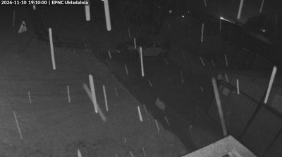

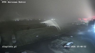

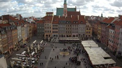


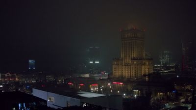

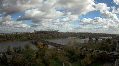

Chrcynno occupies open agricultural land on the Masovian Plain in Poland’s Masovian Voivodeship. The settlement lies north of Warsaw, in a lowland part of northern Mazovia associated with the Wkra, a tributary of the Narew. Its best-known local landmark is Chrcynno airfield, used for sport parachuting and light-aircraft activity; it gives this otherwise rural setting a distinctly contemporary identity. Fields, scattered farmsteads and broad horizons define the immediate surroundings, while Nasielsk is the nearest town. Explore nearby webcam locations that provide complementary perspectives on Chrcynno and northern Mazovia.
2 webcams
Masovian Voivodeship combines the metropolitan momentum of Warsaw with the open character of river plains in a way that reflects its position within Poland’s central lowlands. The Vistula runs through the region and past the capital, whose historic centre was rebuilt after the Second World War and is listed by UNESCO. Beyond Warsaw, Masovia spreads into farmland, woodland and smaller towns, with the Bug and Narew among the waterways shaping its eastern and northern reaches. This is Poland’s political centre, but regional customs also endure in local food, music and seasonal events. Explore nearby locations that provide complementary perspectives on Masovia.
36 webcams
Poland stretches from the Baltic Sea coast in the north to the Carpathian Mountains along its southern frontier, encompassing broad lowlands, lake districts and upland ranges. The Vistula, the country’s longest river, links Kraków and Warsaw before reaching the Baltic near Gdańsk, while the Masurian Lake District is defined by a dense network of lakes. Kraków’s historic centre, including Wawel Castle, recalls Poland’s former royal capital; Warsaw’s rebuilt Old Town speaks to the city’s recovery after the Second World War. The Białowieża Forest preserves one of Europe’s last primeval lowland forests and is home to European bison. Follow how Poland’s regions relate to one another by browsing webcams across the country.
717 webcams