 Hel: Beach
Hel has served as a fishing port on Poland’s Hel Peninsula since the Middle Ages. The town occupies the peninsula’s narrow eastern end, with the Baltic Sea to the north and Puck Bay on its sheltered side. Long beaches and dunes shape the local coastline, while boats, harbours and maritime services remain central to daily life. Hel is also closely associated with Poland’s coastal defences: fortifications built before the Second World War made the peninsula a major defensive position in 1939. Maritime museums and former military sites trace this seafaring and strategic past.
Generated by AI


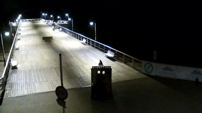


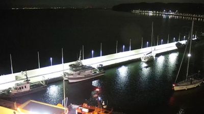

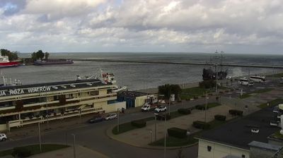

Hel has served as a fishing port on Poland’s Baltic coast since the Middle Ages. It occupies the tip of the Hel Peninsula, a long sand spit separating Puck Bay from the open Baltic Sea, so the water shapes daily life on both sides of town. Fishing boats, beaches and pine woods define its compact setting, while the University of Gdańsk’s Marine Station operates a seal sanctuary supporting Baltic grey-seal conservation. Hel also retains coastal-defence installations associated with Poland’s defence in 1939. Continue to other webcams in Pomeranian Voivodeship to compare coastal settings around the Hel Peninsula.
2 webcams
Pomeranian Voivodeship has served as an administrative region within Poland since 1999. Stretching from the Baltic coast to the wooded Kashubian Lake District, it brings together Poland’s maritime north and an inland country of lakes and forests. The Vistula reaches the sea near Gdańsk, while the coast includes the shifting dunes of Słowiński National Park. Gdańsk, a historic Baltic port and member of the Hanseatic League, anchors the Tri-City urban area with Sopot and Gdynia. Kashubian language and traditions remain an important part of the region’s identity, particularly west of Gdańsk. See how Pomeranian Voivodeship fits within northern Poland by browsing webcams nearby.
64 webcams
Poland stretches from the Baltic Sea coast in the north to the Carpathian Mountains along its southern frontier, encompassing broad lowlands, lake districts and upland ranges. The Vistula, the country’s longest river, links Kraków and Warsaw before reaching the Baltic near Gdańsk, while the Masurian Lake District is defined by a dense network of lakes. Kraków’s historic centre, including Wawel Castle, recalls Poland’s former royal capital; Warsaw’s rebuilt Old Town speaks to the city’s recovery after the Second World War. The Białowieża Forest preserves one of Europe’s last primeval lowland forests and is home to European bison. Follow how Poland’s regions relate to one another by browsing webcams across the country.
717 webcams