 Jastarnia
 occupies a narrow stretch of the Hel Peninsula in Poland’s Pomeranian Voivodeship, between the open Baltic Sea and Puck Bay. This sandy peninsula forms a long coastal barrier, with beaches on its seaward side and sheltered water toward the bay. Jastarnia grew from a Kashubian fishing settlement, and fishing remains part of its identity alongside tourism and watersports. The town is connected to the mainland by the peninsula’s road and railway, while the surrounding coast forms part of the Seaside Landscape Park. Pine-covered dunes, broad sand and the closeness of two very different waters give Jastarnia a distinctly maritime character. Jurata and Kuźnica continue the chain of settlements along the peninsula.
Generated by AI
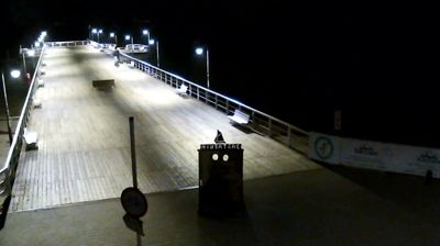


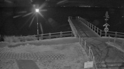

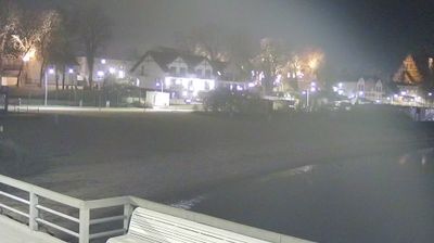

Jastarnia combines the working character of a fishing settlement with the seasonal tempo of a Baltic resort, a contrast that reflects its position on the narrow Hel Peninsula. The town is set between the open Baltic Sea and the sheltered waters of Puck Bay, where shallow conditions have long supported sailing and windsurfing. Fishing remains part of the local identity, while the peninsula’s beaches and pine woods define its compact setting. Jastarnia belongs to Kashubia, a region with its own language and traditions, and former fishing huts recall the coast’s maritime life before tourism became central. Browse other webcams across the Pomeranian Voivodeship to place this coastal setting in a wider geographic context.
4 webcams
Pomeranian Voivodeship has served as an administrative region within Poland since 1999. Stretching from the Baltic coast to the wooded Kashubian Lake District, it brings together Poland’s maritime north and an inland country of lakes and forests. The Vistula reaches the sea near Gdańsk, while the coast includes the shifting dunes of Słowiński National Park. Gdańsk, a historic Baltic port and member of the Hanseatic League, anchors the Tri-City urban area with Sopot and Gdynia. Kashubian language and traditions remain an important part of the region’s identity, particularly west of Gdańsk. See how Pomeranian Voivodeship fits within northern Poland by browsing webcams nearby.
64 webcams
Poland stretches from the Baltic Sea coast in the north to the Carpathian Mountains along its southern frontier, encompassing broad lowlands, lake districts and upland ranges. The Vistula, the country’s longest river, links Kraków and Warsaw before reaching the Baltic near Gdańsk, while the Masurian Lake District is defined by a dense network of lakes. Kraków’s historic centre, including Wawel Castle, recalls Poland’s former royal capital; Warsaw’s rebuilt Old Town speaks to the city’s recovery after the Second World War. The Białowieża Forest preserves one of Europe’s last primeval lowland forests and is home to European bison. Follow how Poland’s regions relate to one another by browsing webcams across the country.
716 webcams