 Ōtara-Papatoetoe: Puhinui: SH20 - Rd
Few places in Auckland have a history as closely tied to transport development as Ōtara-Papatoetoe. This broad southern corridor lies on the Auckland isthmus, with Manukau Harbour to the west and the Hauraki Gulf on the city’s eastern side. Papatoetoe grew around the railway route linking Auckland with the south; its station opened in 1875. Today State Highway 20 and the Puhinui transport corridor connect nearby residential districts with Auckland Airport, Manukau and central Auckland. The area combines established suburban streets with major rail, bus and road infrastructure, reflecting the outward growth of New Zealand’s largest urban region. Ōtara also has a strong Pacific character, expressed most publicly at the long-running Ōtara Market, where stallholders sell food, clothing and other goods.
Generated by AI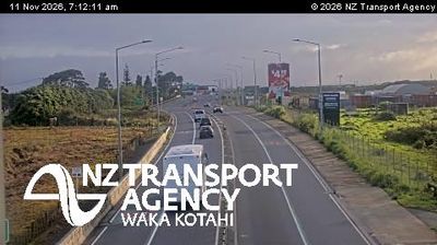


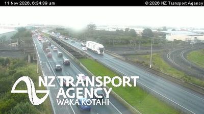
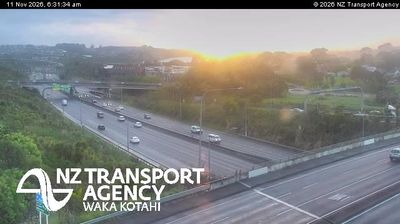

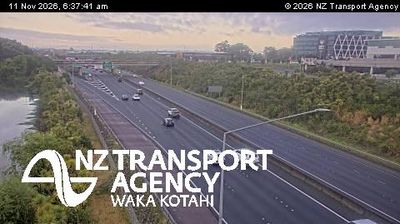
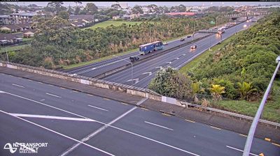


The landscape around Ōtara-Papatoetoe is a low-lying urban plain in Auckland’s volcanic field, which has shaped both the suburban form and the area’s earlier market-gardening economy. Ōtara Creek flows through the district towards the Tāmaki River, while neighbourhoods spread across South Auckland between the city centre and Manukau Harbour. The Saturday Ōtara Market is a major expression of the area’s Pacific character, bringing together food, produce, clothing and community trade. Papatoetoe contributes an older suburban centre to a locality shaped by Māori, Pacific and Asian communities. Explore related webcams around South Auckland to build a fuller picture of this part of Auckland.
13 webcams
Among New Zealand’s regions, Auckland stands out for its urban setting between two harbours and the islands of the Hauraki Gulf. The region occupies a narrow isthmus, with Waitematā Harbour opening towards the Pacific and Manukau Harbour reaching the Tasman Sea. More than 50 volcanic cones and craters form the Auckland volcanic field; Maungawhau / Mount Eden is among its most recognisable landmarks. Auckland is also New Zealand’s largest city and a major centre of Māori and Pacific communities, reflected in its food, arts and public life. Continue to other webcams in the region to compare coastal, harbour and city settings around Auckland.
124 webcams
New Zealand combines Pacific isolation with strong ties to the wider South Pacific in a way that reflects its position between the Tasman Sea and the open Pacific Ocean. The country’s two main islands are divided by Cook Strait, while the Southern Alps run along much of the South Island and include Aoraki / Mount Cook, its highest mountain. On the North Island, volcanic terrain shapes Tongariro National Park and the central plateau; long coastlines frame cities such as Auckland and Wellington. Māori culture is central to national life, and the Treaty of Waitangi, first signed in 1840, remains a foundational document in relations between Māori and the Crown. See how New Zealand fits within the wider South Pacific by browsing webcams nearby.
471 webcams