Ōtara-Papatoetoe
The landscape around Ōtara-Papatoetoe is a low-lying urban plain in Auckland’s volcanic field, which has shaped both the suburban form and the area’s earlier market-gardening economy. Ōtara Creek flows through the district towards the Tāmaki River, while neighbourhoods spread across South Auckland between the city centre and Manukau Harbour. The Saturday Ōtara Market is a major expression of the area’s Pacific character, bringing together food, produce, clothing and community trade. Papatoetoe contributes an older suburban centre to a locality shaped by Māori, Pacific and Asian communities. Explore related webcams around South Auckland to build a fuller picture of this part of Auckland. Generated by AI
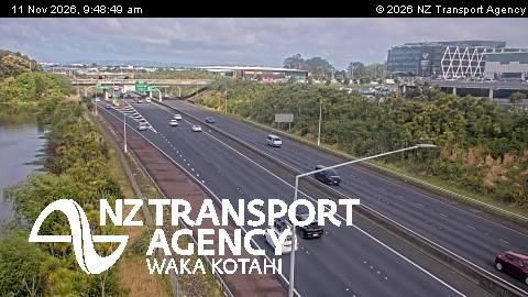
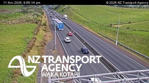
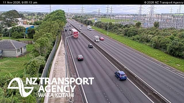
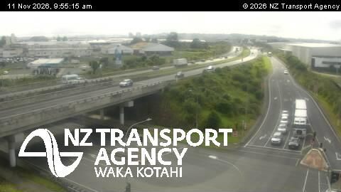
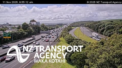
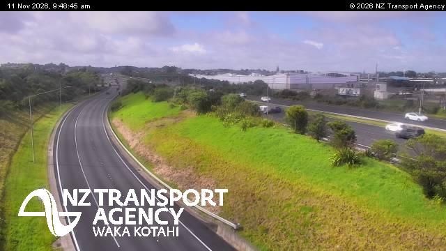
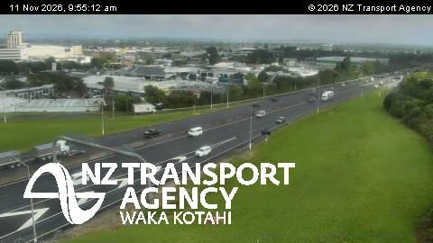
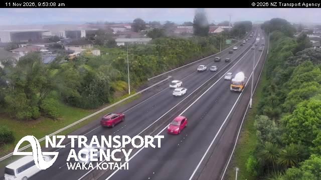
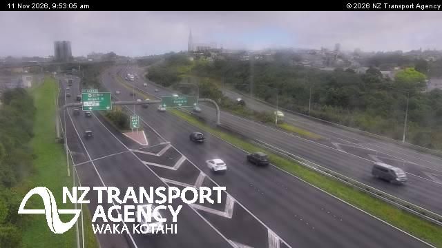
Featured webcams
Popular webcams
Recently added webcams
Explore other webcams in Ōtara-Papatoetoe
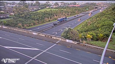

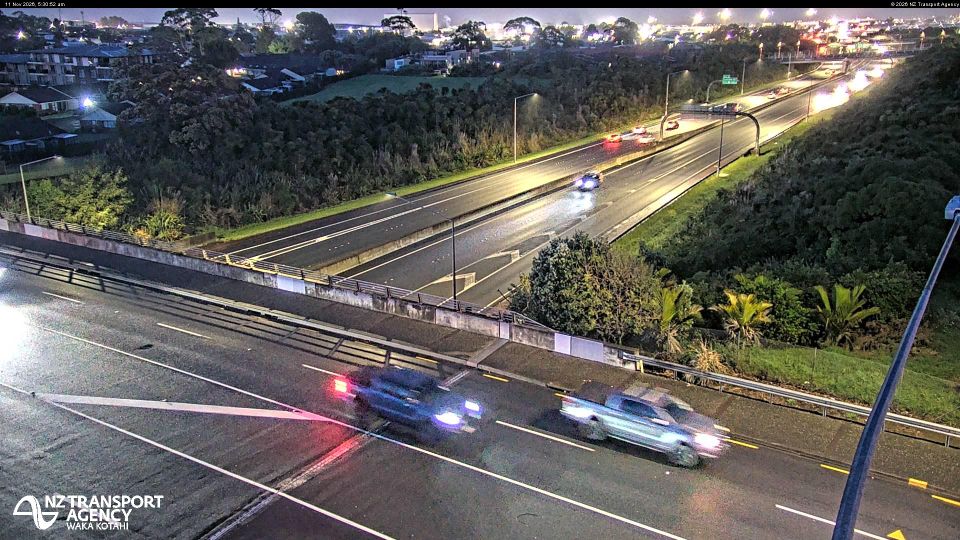
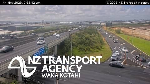
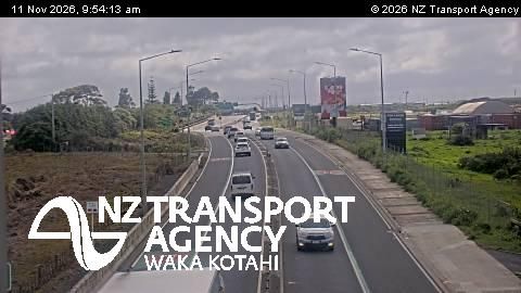
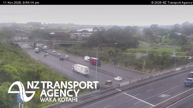
Ōtara-Papatoetoe: Puhinui: SH20 Gt South Rd
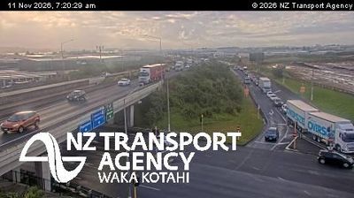
Ōtara-Papatoetoe: Puhinui: SH20 - Rd
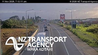
Ōtara-Papatoetoe: Puhinui: SH20B Prices Rd
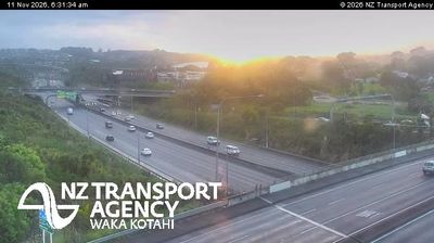
Ōtara-Papatoetoe: Puhinui: SH20 Lambie Dr
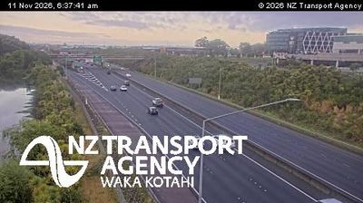
Ōtara-Papatoetoe: Puhinui: SH20 Barrowcliffe Pl Overbridge

Ōtara-Papatoetoe: Puhinui: SH20 Portage Rd South

Ōtara-Papatoetoe: SH1 Bairds Rd Overbridge

Ōtara-Papatoetoe: Puhinui: SH20 Cavendish Dr
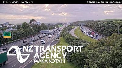
Ōtara-Papatoetoe: Puhinui: SH1 South Eastern Hwy
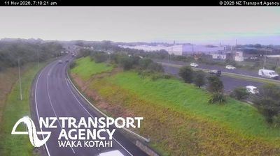
Ōtara-Papatoetoe: Puhinui: SH1/SH20 Interchange South

Ōtara-Papatoetoe: Puhinui: Equippers Church Manukau

Ōtara-Papatoetoe: Puhinui: SH20 Portage Rd North
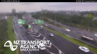
Ōtara-Papatoetoe: Puhinui: SH1/SH20 Interchange North