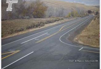
 Pleasant Valley: US 97 at MP 27.1: Satus Pass
The forested slopes of the Simcoe Mountains define the setting of Satus Pass — their rolling, timbered ridges make this a road crossing rather than a settled valley. US Route 97 follows the pass in south-central Washington, carrying traffic between the Yakima Valley and communities toward the Columbia River. The route forms part of Washington’s north–south highway network, while the immediate surroundings retain a distinctly upland character, with conifer woods, road cuttings and broad ridgelines instead of urban development. Satus Pass is a useful landmark for understanding how the terrain changes south of Yakima, where a major highway threads through the mountains.
Generated by AI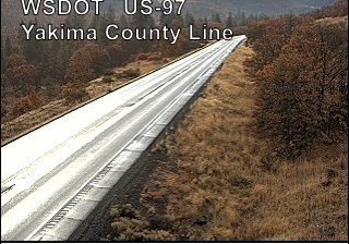
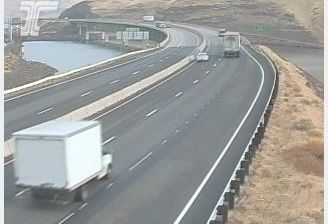
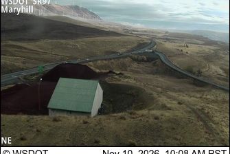

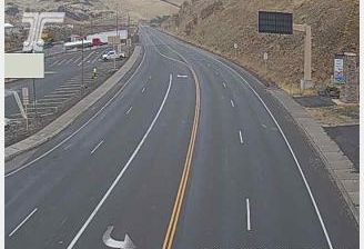

Pleasant Valley has served as a residential community in north-central West Virginia since the mid-20th century. It sits in Marion County’s rolling Allegheny Plateau terrain, close to the West Fork River and the larger city of Fairmont. The area developed within a region long shaped by coal mining, rail transport and the industrial growth of the Monongahela Valley. Today, Pleasant Valley is part of the connected network of small municipalities around Fairmont, with access to the wooded hills and river valleys that define this part of West Virginia. Explore nearby webcam locations that provide complementary perspectives on Pleasant Valley and Marion County.
3 webcams
Among the states of the United States, West Virginia stands out for its deeply folded Appalachian terrain and enduring mountain identity. The Allegheny Mountains, forested ridges, and narrow river valleys shape much of the state, while the New River cuts through the dramatic gorge protected by New River Gorge National Park and Preserve. Coal mining has long influenced local communities and the state’s industrial heritage. West Virginia became a separate state during the Civil War in 1863. Continue through nearby webcams to explore different parts of West Virginia.
11 webcams
The Atlantic, Pacific and Gulf coasts define much of the United States — their ports, fisheries and trade routes have long tied the country’s economy to the wider world. Between them, the Rocky Mountains, Great Plains and Mississippi River basin form sharply different regions, from high western ranges to broad agricultural heartlands. Cities carry much of the national story: New York’s Statue of Liberty, a gift from France dedicated in 1886, remains an enduring symbol, while Washington, DC concentrates major federal institutions. Indigenous nations have shaped these lands for millennia, and their living cultures remain essential to the country’s identity. Find related webcams in the surrounding areas to build a fuller picture of the United States.
32K webcams