 Wasco: John Day River Bridge
Tucked along the lower John Day River, the John Day River Bridge near Wasco is a place whose character is shaped by the dry Columbia Plateau. Interstate 84 crosses the river here, part of the transport corridor running beside the Columbia River through north-central Oregon. The John Day flows north from eastern Oregon before joining the Columbia, cutting a broad course through sparsely settled basalt country. It is among the state’s longest free-flowing rivers, valued for its largely undammed character and fish habitat. The river is named for John Day, a fur trapper with the Pacific Fur Company in the early 19th century. Road, bridge and river meet at a practical crossing where the plateau’s open terrain gives the journey its scale.
Generated by AI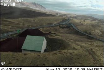
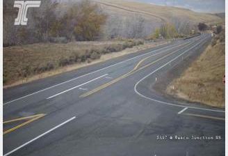

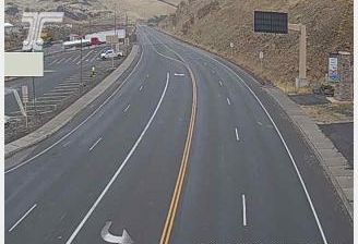
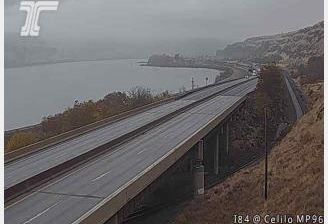
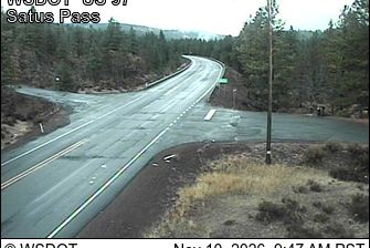
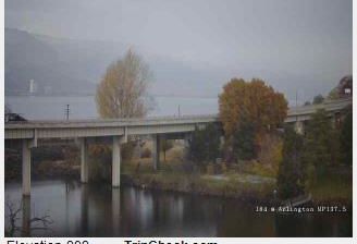
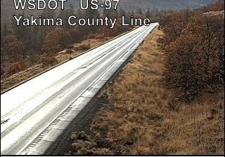

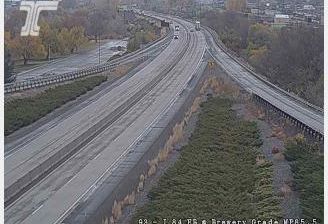

Wasco sits on the Columbia Plateau in north-central Oregon, United States, where rolling, treeless uplands have made dryland wheat farming the defining land use. It is the county seat of Sherman County, and its compact grid and grain-focused economy reflect the rhythms of an agricultural service town. Across the seasons, surrounding fields shift from spring green to the tawny tones of harvest, while long roads and broad skies emphasize the plateau’s openness. The Columbia River lies to the north, and the country beyond Wasco extends toward the Columbia Gorge and eastern Oregon’s interior. Explore nearby webcam locations that provide complementary perspectives on Wasco and north-central Oregon.
4 webcams
The Cascade Range and high desert define much of Oregon, shaping a state where forestry, farming, hydropower and outdoor recreation are central to regional life. The Columbia River forms much of its northern border, while the Willamette Valley supports fertile farmland between the Cascades and the Coast Range. Oregon’s Pacific shore is marked by long beaches, headlands and working coastal towns, and Crater Lake preserves the deep caldera of Mount Mazama in the south. Oregon City is associated with the historic end of the Oregon Trail, a reminder of the migration that transformed the nineteenth-century American West. See how Oregon connects with the wider Pacific Northwest by browsing webcams nearby.
890 webcams
The Atlantic, Pacific and Gulf coasts define much of the United States — their ports, fisheries and trade routes have long tied the country’s economy to the wider world. Between them, the Rocky Mountains, Great Plains and Mississippi River basin form sharply different regions, from high western ranges to broad agricultural heartlands. Cities carry much of the national story: New York’s Statue of Liberty, a gift from France dedicated in 1886, remains an enduring symbol, while Washington, DC concentrates major federal institutions. Indigenous nations have shaped these lands for millennia, and their living cultures remain essential to the country’s identity. Find related webcams in the surrounding areas to build a fuller picture of the United States.
32K webcams