 Smartno pri Litiji: Veliki Gaber - Kočevje - Snežnik
Kočevje sits on the Kočevje Field in southern Slovenia, where the Dinaric karst uplands meet one of the country’s most heavily forested regions. The town is the centre of the Kočevsko area, a broad wooded landscape long shaped by forestry and by the former Gottschee German community, whose settlement history reaches back to the 14th century. South of Kočevje, Mount Snežnik rises from the Snežnik Plateau; its highest summit, Veliki Snežnik, is Slovenia’s highest non-Alpine peak. Veliki Gaber, in the rolling Dolenjska countryside northwest of Novo mesto, provides a contrast to Kočevje’s extensive forests as a small rural settlement among cultivated hills.
Generated by AI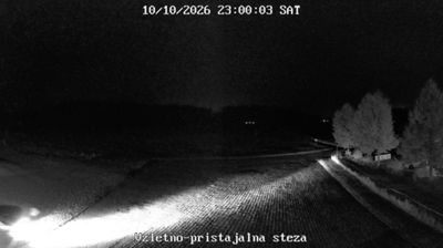

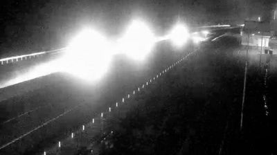
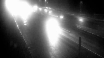


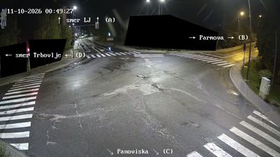

Built around the parish church of St Martin, Šmartno pri Litiji grew into the administrative centre of its own municipality in central Slovenia. The town stands just south of Litija, above the Sava River valley. Although it belongs to the Central Sava Statistical Region today, it forms part of the traditional region of Lower Carniola, where wooded hills, farms and scattered settlements shape the surrounding countryside. St Martin’s Church remains the town’s key landmark and reflects its long-standing parish tradition. Move on to other webcams in central Slovenia to compare landscapes and settings around the Sava basin.
1 webcam
Upravna Enota Litija combines the working character of the Sava valley with quieter wooded hills in a way that reflects its position between Ljubljana and the Zasavje region of central Slovenia. The Sava, Slovenia’s longest river, is the area’s defining corridor, followed by railway and road links through the narrow valley at Litija. Above the town, the former Sitarjevec Mine recalls a long local mining tradition. Near Vače, the Geometric Centre of Slovenia, known as GEOSS, marks a symbolic focal point of the country, while the celebrated Vače situla testifies to Iron Age life. Continue through nearby webcams to explore different parts of Upravna Enota Litija.
5 webcams
Slovenia occupies a meeting point of the Alps, the Pannonian Plain, the Dinaric mountains and the Adriatic coast in south-central Europe. The Julian Alps rise in the northwest, where Triglav is the country’s highest mountain, while the Soča River is known for its clear turquoise water. Karst terrain has shaped caves such as Postojna Cave and the Škocjan Caves, a UNESCO World Heritage site. Ljubljana combines a riverside old town with works by architect Jože Plečnik; farther east, wine-growing regions and thermal springs add another dimension. Slovenian food reflects Alpine, Mediterranean and Balkan influences. Find related webcams in the surrounding area to build a fuller picture of Slovenia and the northern Adriatic.
783 webcams