 Lelystad: Bataviahaven Lelystad - Lelystad- Haven - Markermeer
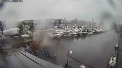
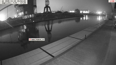
Bataviahaven Lelystad sits on the eastern shore of the Markermeer in the Netherlands, where the reclaimed polders of Flevoland meet water once belonging to the Zuiderzee. This harbour lies beside Lelystad-Haven, at the edge of a city planned on land reclaimed during the twentieth century and named for engineer Cornelis Lely. The Markermeer is separated from the IJsselmeer by the Houtribdijk, the long dam linking Lelystad with Enkhuizen. Bataviahaven is closely associated with Museum Batavialand, whose collections trace Dutch shipbuilding, water management and the making of Flevoland. Quays, marinas and the broad lake give this waterfront a distinctly open, man-made Dutch character.
Generated by AI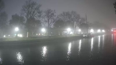

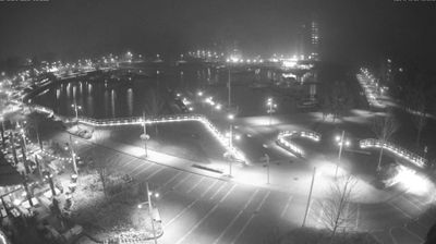




Lelystad has served as the administrative centre of Flevoland since the province was established in 1986. Built on land reclaimed from the former Zuiderzee, it is a young Dutch city named for engineer Cornelis Lely, a leading figure behind the Zuiderzee Works. Its waterfront meets the Markermeer, while the Oostvaardersplassen wetlands nearby form part of Nieuw Land National Park. Lelystad also reflects the Netherlands’ long tradition of water management: the Houtribdijk connects its coast with Enkhuizen. Discover other points of interest through webcams located across Flevoland.
1 webcam
Flevoland is best known within the Netherlands for its vast reclaimed polders, formed through the twentieth-century Zuiderzee Works. The country’s youngest province stands on land once covered by the Zuiderzee, with orderly fields, straight drainage canals and planned cities giving it a distinctly engineered character. Lelystad, the provincial capital, reflects the scale of this national project, while Almere has developed into one of the Netherlands’ largest planned urban centres. The Markermeer borders Flevoland to the west, and the Oostvaardersplassen wetland is part of Nieuw Land National Park. Find related webcams in the surrounding area to build a fuller picture of Flevoland.
3 webcams
Among the countries of northwestern Europe, the Netherlands stands out for its carefully managed lowlands in the Rhine–Meuse–Scheldt delta. Much of the country lies low in relation to the sea, and dikes, dunes, pumps and polders are integral to its everyday geography. The North Sea coast ranges from broad beaches to the Wadden Sea, a tidal area shared with Germany and Denmark. Amsterdam’s 17th-century canal ring recalls an era when Dutch trade connected the republic with ports around the world. Beyond the capital, bicycles, dairy farming, bulb fields and compact historic cities give the country a distinct rhythm. Rotterdam’s port and the Delta Works show how maritime commerce and water engineering remain central. View additional webcams nearby to better understand how the Rhine–Meuse–Scheldt delta relates to its North Sea surroundings.
124 webcams