 Sankt Wendel: Fruchtmarkt
Among the towns of Saarland, Sankt Wendel stands out for Fruchtmarkt, its historic market square beside the Wendelinus Basilica. The square is framed by closely set, gabled townhouses, giving the centre a distinctly small-scale urban character. Sankt Wendel lies on the Blies in northern Saarland, amid the wooded uplands of the Saar-Hunsrück region. The basilica is dedicated to Saint Wendelin, the town's patron; his tomb made it an important place of pilgrimage in the Middle Ages. Fruchtmarkt remains part of the compact old town, where civic life, cafés and local events occupy streets shaped by centuries of trade and pilgrimage.
Generated by AI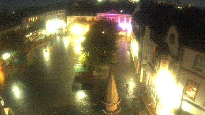

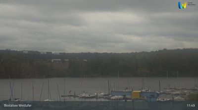
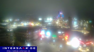
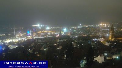


Few towns in Saarland have a history as closely tied to the pilgrimage tradition surrounding Saint Wendelin as Sankt Wendel. The Blies flows through the town, while the late-Gothic Wendelinus Basilica stands at the centre of its old quarter and reflects the importance of the saint’s cult over centuries. Sankt Wendel developed around this religious destination and still has a compact centre of squares, pedestrian streets and historic buildings. Each autumn, the Wendelinusmarkt brings a long-established fair tradition to the town. Explore nearby webcam locations that provide complementary perspectives on Sankt Wendel and Saarland.
3 webcams
The terrain of Saarland ranges from wooded uplands in its northern districts to broader river valleys along the Saar in the south, giving this small German state a compact, rolling character. The Saar is the region’s defining waterway, passing through Saarbrücken before meeting the Moselle at Konz. Saarbrücken developed around coal mining and ironmaking, industries that shaped much of Saarland’s modern identity. In Völklingen, the former ironworks is a UNESCO World Heritage Site and a major record of that industrial era. Near Mettlach, the Saar forms its celebrated tight bend, the Saarschleife. Borders with France and Luxembourg reinforce Saarland’s cross-border outlook. View additional webcams nearby to better understand how Saarland relates to its surroundings.
22 webcams
Germany stretches from the North Sea and Baltic Sea coasts to the Alps on its southern border, encompassing northern plains, river valleys and forested uplands. The Rhine, Danube and Elbe have long connected its regions, while the Black Forest and Bavarian Alps give the south a more dramatic relief. Berlin’s Brandenburg Gate and Museum Island reflect the capital’s role in German history and culture. Cologne Cathedral, a UNESCO World Heritage Site, rises above the Rhine, and the Bauhaus movement, founded in Weimar in 1919, transformed modern design far beyond Germany. Regional cooking, Christmas markets and brewing traditions bring further character to daily life. Browse additional webcams from the surrounding area to extend your view of Germany.
2.5K webcams