 District of Púchov: Památník malíři Františku Hlavicovi u horní stanice vleku v sedle Kohútka - Mountain hotel Kohútka

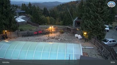
Kohútka straddles the Slovak–Czech border in the Javorníky Mountains, and its position in a saddle has made the ridge a shared recreation area for communities on both sides. Mountain Hotel Kohútka is the focal point of the pass, with the surrounding slopes used by the Kohútka ski area. The Javorníky form a wooded section of the Western Carpathians, where ridge routes cross high ground rather than a settled valley. Near the upper lift station, a memorial commemorates the painter František Hlavica, adding a cultural marker to this borderland setting. The hotel’s timber architecture and terrace underline Kohútka’s role as a mountain stop as well as a base for outdoor activity.
Generated by AI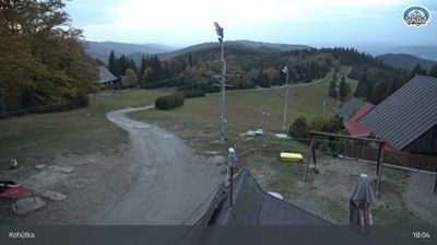




The District of Púchov is best known within Slovakia for the Púchov culture, an Iron Age archaeological culture named after finds from this area. Centred on the town of Púchov, the district follows the Váh River in north-western Slovakia, where the White Carpathians and Javorníky mountains shape the wider setting. Púchov has long been an industrial centre, particularly through its association with rubber production and the Continental Matador plant. The area also forms part of the historic Váh valley, an important route through this section of the country. Discover other points of interest through webcams located across the Púchov District and Trenčín Region.
1 webcam
Shaped by the Váh river corridor and routes through north-western Slovakia, the Region of Trenčín developed into an administrative region of broad valleys, wooded uplands and historic towns. Trenčín, its regional centre, is dominated by Trenčín Castle above the river; the rock below preserves a Latin inscription from the Roman era. The White Carpathians form part of the western borderland, while the Strážov Mountains and Považský Inovec give the interior a more rugged profile. Spa traditions, folk culture and the Váh’s settlement corridor remain central to the region’s identity. See how the Region of Trenčín fits within north-western Slovakia by browsing webcams nearby.
18 webcams
Slovakia is best known internationally for the High Tatras, whose granite summits form the country’s most celebrated mountain landscape. Gerlachovský štít, at 2,655 metres, is the highest peak in Slovakia and in the Carpathians. The Danube runs past Bratislava, where Bratislava Castle stands on a hill above the river, linking the capital to Central Europe’s major waterway. Beyond the cities, forests, karst terrain and small historic towns define much of the country. Slovakia’s long folk tradition is also represented by the fujara, a large shepherd’s flute recognised by UNESCO. Browse additional webcams from the surrounding area to extend your view of the High Tatras and the Danube region.
281 webcams