 Novy Hrozenkov: Kohútka - Kohútka, Kuřátko

Among the places of the Zlín Region, Kohútka stands out for its position on the Javorníky ridge beside the Czech–Slovak border. This mountain area belongs to the wider Wallachia region, whose scattered timber farmsteads and pastoral clearings have long shaped the local landscape. Kohútka is associated with winter sports, while the ridge is also crossed by marked routes for walking and cycling. The slopes descend into a rolling mosaic of forests and meadows around Nový Hrozenkov in the Vsetín district. It is an upland setting rather than an urban resort, defined by open clearings, conifer woodland and cross-border mountain country.
Generated by AI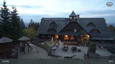


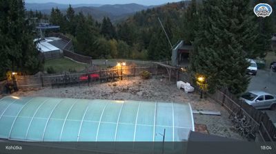

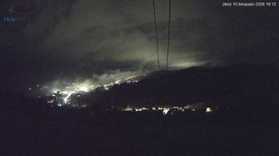

The landscape around Nový Hrozenkov is a narrow, wooded valley of the Vsetínská Bečva beneath the Vsetínské vrchy, which has shaped both the settlement’s linear form and local economy. This eastern Moravian municipality lies in the cultural region of Valašsko, close to the Slovak border, where forested slopes and meadows define the surrounding countryside. Wallachian identity remains an important part of local character, rooted in the pastoral traditions, folk music and timber-built vernacular associated with this part of the Czech Republic. The town also provides access to the quieter uplands of the Vsetín Mountains. Browse other webcams across the Zlín Region to place this valley setting in a wider geographic context.
6 webcams
Centred on the industrial city of Zlín and the valleys of eastern Moravia, Zlínský kraj developed into a distinct region of Czechia. Zlín is closely associated with the Bata shoe company, whose factory-led expansion gave the city its notable Functionalist architecture. To the east, the White Carpathians follow the Slovak border, while the Morava River crosses lowlands near Uherské Hradiště. Velehrad, one of the country’s important pilgrimage places, adds another dimension to the area’s Moravian identity. Browse webcams nearby to see how Zlínský kraj belongs to the wider landscape of eastern Moravia.
95 webcams
The terrain of Czechia ranges from fertile lowlands in southern Moravia to mountain ridges along the northern frontier, giving this Central European country a distinctly varied geography. The Vltava runs through Prague before joining the Elbe, while the Krkonoše form part of the border with Poland and include Sněžka, Czechia’s highest mountain. Prague’s historic centre, with Prague Castle and Charles Bridge, reflects the city’s long role as a political and cultural centre. Beyond the capital, Bohemia is known for spa towns and brewing, and Moravia for wine-growing traditions. View additional webcams nearby to better understand how Czechia relates to its Central European surroundings.
1.4K webcams