 Modrava: Filipova Huť
Among the places of the Plzeň Region, Modrava stands out for its high-lying settlement amid the forests and meadows of Šumava. The village lies within Šumava National Park, near the meeting of the Vydra and Křemelná rivers, which form the Otava. Its scattered houses and open grassland sit among extensive spruce woods, reflecting a settlement pattern long shaped by forestry and mountain farming. Modrava is a well-known starting point for walking and cycling through the national park, while the surrounding uplands retain the broad, lightly built character of the Bohemian Forest. The Otava then runs northeast through southern Bohemia toward Písek.
Generated by AI
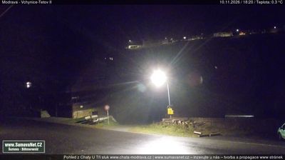


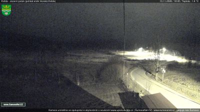

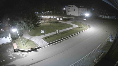

Tucked into the Šumava Mountains near the German border, Modrava is a place whose character is shaped by high-elevation peat bogs and the cold headwaters of the Vydra. The river begins in the settlement where the Modravský and Roklanský streams meet, then continues through the forests and wetlands of Šumava National Park. Foot and cycle routes make Modrava a useful base for exploring the surrounding uplands, where visitor access is managed to protect sensitive habitats. Nearby, the Vchynsko-Tetovský Canal, built around the turn of the 19th century, recalls the period when Šumava timber was floated through this rugged country. Explore related webcams in the surrounding Šumava area to build a fuller picture of Modrava's borderland.
4 webcams
The river valleys of western Bohemia define much of Plzeň Region, supporting agriculture, linking historic towns and carrying the Mže, Radbuza, Úhlava and Úslava toward Plzeň. In the city, the Mže and Radbuza form the Berounka, while wooded highlands extend west toward the Bohemian Forest and south toward Šumava. Plzeň is the regional centre and the home of Pilsner Urquell: the beer was first brewed here in 1842 and gave its name to the pilsner style. Its centre is marked by the Gothic Cathedral of St Bartholomew and the Great Synagogue. Beyond the city, smaller towns, castles and rural roads give the region a distinct western-Bohemian character. Find related webcams in the surrounding area to build a fuller picture of Plzeň Region.
104 webcams
The terrain of Czechia ranges from fertile lowlands in southern Moravia to mountain ridges along the northern frontier, giving this Central European country a distinctly varied geography. The Vltava runs through Prague before joining the Elbe, while the Krkonoše form part of the border with Poland and include Sněžka, Czechia’s highest mountain. Prague’s historic centre, with Prague Castle and Charles Bridge, reflects the city’s long role as a political and cultural centre. Beyond the capital, Bohemia is known for spa towns and brewing, and Moravia for wine-growing traditions. View additional webcams nearby to better understand how Czechia relates to its Central European surroundings.
1.4K webcams