 Stozec: směr České Žleby
Tucked into the forested foothills of the Šumava Mountains, Stožec is a place whose character is shaped by its position in Šumava National Park. The municipality lies near the Teplá Vltava, one of the headwater rivers that form the Vltava, amid a borderland of spruce woods, meadows and small settlements. České Žleby, part of Stožec, reflects the region’s dispersed settlement pattern, with homes and farmland set between wooded ridges. Stožec is also associated with the pilgrimage Chapel of Our Lady, reached through the surrounding forest. Protected habitats and quiet rural land use remain central to the character of this part of southern Bohemia.
Generated by AI


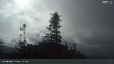

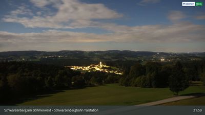

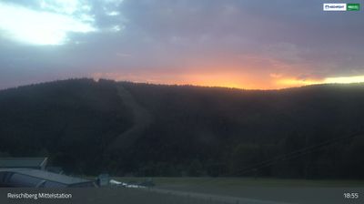
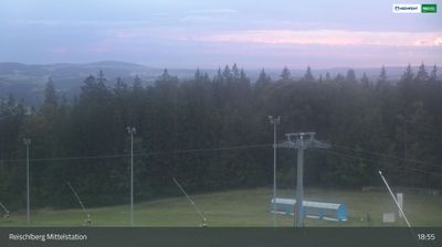


Stožec combines deep forest seclusion with an international borderland character in a way that reflects its position in the Šumava Mountains of southern Czechia. The settlement lies beside the Teplá Vltava within Šumava National Park, where peat bogs, spruce woods and wet meadows shape the upper Vltava basin. Paths from the village lead through protected woodland towards the German and Austrian borders. Above Stožec, the Stožecká Chapel has long drawn walkers and pilgrims into the forest. View additional webcams nearby to better understand how Stožec and the Šumava region relate to their surroundings.
2 webcams
South Bohemian Region occupies a broad southern stretch of Bohemia in Czechia, reaching from the Šumava Mountains near Austria to the lowlands around České Budějovice. The Vltava flows north through this region, while the Třeboň area is renowned for its centuries-old network of fishponds and carp farming. Český Krumlov, set in a bend of the Vltava, is a UNESCO World Heritage Site known for its historic centre and castle complex. The regional capital, České Budějovice, is also home to the Budweiser Budvar brewery. Browse additional webcams from the surrounding area to extend your view of South Bohemia.
105 webcams
The terrain of Czechia ranges from fertile lowlands in southern Moravia to mountain ridges along the northern frontier, giving this Central European country a distinctly varied geography. The Vltava runs through Prague before joining the Elbe, while the Krkonoše form part of the border with Poland and include Sněžka, Czechia’s highest mountain. Prague’s historic centre, with Prague Castle and Charles Bridge, reflects the city’s long role as a political and cultural centre. Beyond the capital, Bohemia is known for spa towns and brewing, and Moravia for wine-growing traditions. View additional webcams nearby to better understand how Czechia relates to its Central European surroundings.
1.4K webcams