 Horni Vltavice
Few places in the South Bohemian Region have a history as closely tied to the medieval settlement of the Šumava borderlands as Horní Vltavice. First recorded in 1359, this small municipality developed in a wooded upland shaped by farming and timber work. It stands in the foothills of the Šumava Mountains, near Boubín, one of the range’s prominent forested summits. The local ski area gives Horní Vltavice a recreational role alongside its rural character. Forest clearings, meadows and scattered buildings remain integral to the traditional cultural landscape of Czech Šumava, a region whose communities have long been defined by the meeting of upland settlement and extensive woodland.
Generated by AI


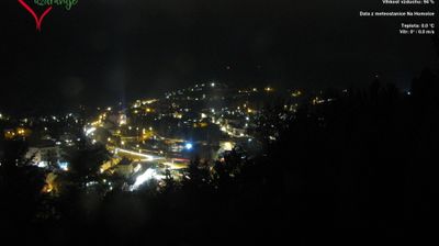


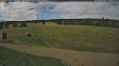




Horní Vltavice has served as a mountain settlement in South Bohemia since the Middle Ages. It lies in the Šumava Mountains, where the Teplá Vltava flows through a broad, forested valley on its course toward the Vltava river system. The village is part of a region shaped by woodland, peat bogs and long winters, with routes leading across the Bohemian Forest near the German border. Its setting makes it a useful base for exploring the quieter southern side of Šumava in every season. See how Horní Vltavice fits into the wider Šumava area by browsing webcams nearby.
1 webcam
South Bohemian Region occupies a broad southern stretch of Bohemia in Czechia, reaching from the Šumava Mountains near Austria to the lowlands around České Budějovice. The Vltava flows north through this region, while the Třeboň area is renowned for its centuries-old network of fishponds and carp farming. Český Krumlov, set in a bend of the Vltava, is a UNESCO World Heritage Site known for its historic centre and castle complex. The regional capital, České Budějovice, is also home to the Budweiser Budvar brewery. Browse additional webcams from the surrounding area to extend your view of South Bohemia.
103 webcams
The terrain of Czechia ranges from fertile lowlands in southern Moravia to mountain ridges along the northern frontier, giving this Central European country a distinctly varied geography. The Vltava runs through Prague before joining the Elbe, while the Krkonoše form part of the border with Poland and include Sněžka, Czechia’s highest mountain. Prague’s historic centre, with Prague Castle and Charles Bridge, reflects the city’s long role as a political and cultural centre. Beyond the capital, Bohemia is known for spa towns and brewing, and Moravia for wine-growing traditions. View additional webcams nearby to better understand how Czechia relates to its Central European surroundings.
1.4K webcams