 Akita: Route 46 - Kyowa
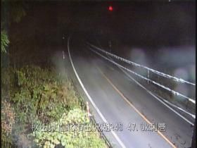
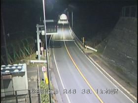
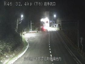
Few places in Akita Prefecture have a history as closely tied to overland links across northern Honshu as the Arakawa stretch of National Route 46. This two-lane route forms part of the corridor between Akita City and Morioka in neighbouring Iwate Prefecture, crossing the wooded interior rather than following the coast. Around Arakawa, dense planted forest stands close to the carriageway, lending this nationally important road a strongly rural character. The route continues towards Lake Tazawa, Japan’s deepest lake, and the former castle town of Kakunodate, known for its preserved samurai district and streets lined with weeping cherry trees. It is an essential inland passage through Akita Prefecture.
Generated by AI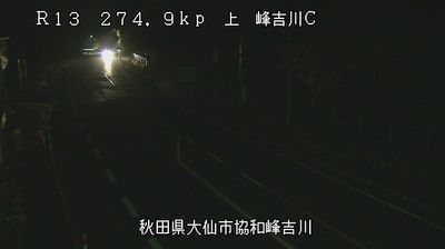



Akita occupies a broad coastal plain beside the Sea of Japan in northern Honshu’s Akita Prefecture. The city developed around Kubota Castle, established in 1604 as the seat of the Satake clan, who governed the Kubota Domain through the Edo period; its grounds are now Senshu Park. Each August, the Akita Kanto Festival fills central streets with performers balancing towering bamboo poles hung with lanterns, a tradition associated with prayers for a good harvest. Akita is also identified with kiritanpo, toasted rice cakes commonly served in a hotpot with chicken and vegetables. Its coastline, urban centre and castle park give the prefectural capital a distinctly regional identity. Continue through nearby webcams to explore different parts of Akita Prefecture.
5 webcams
Among the regions of Japan, Akita Prefecture stands out for its snowy winters, extensive rice plains and Sea of Japan coastline. The Ōu Mountains shape much of its eastern side, while the Omono River runs through the interior towards the coast. Rice cultivation remains central to local life, reflected in the well-known Akita Komachi variety. In Akita City, the annual Kanto Matsuri features performers balancing tall bamboo poles hung with lanterns. Semboku’s Kakunodate district preserves streets lined with former samurai residences. Discover other points of interest through webcams located across Akita Prefecture.
17 webcams
Among the countries of East Asia, Japan stands out for its volcanic archipelago, stretching from the cool north of Hokkaido to subtropical Okinawa. Mount Fuji, the nation’s highest mountain, rises above central Honshu, while the Pacific Ocean and the Seto Inland Sea have long shaped settlement, fishing and travel. Tokyo pairs dense urban life with major museums and neighbourhood traditions; Kyoto preserves temples, gardens and the legacy of Japan’s imperial court. Seasonal customs give journeys a changing rhythm, from spring cherry blossom viewing to autumn leaves. Regional cooking is equally varied, with sushi, ramen and local specialties reflecting coastlines, climate and agriculture. Explore nearby webcam locations that provide complementary perspectives on Japan’s islands, cities and mountain regions.
1.3K webcams